Travel & Hike in Banff by Bus: 50+ Trails That DON’T Require a Car
Banff is a mecca for hiking, camping, and grand nature. Although having a car in Banff opens many opportunities for exploration and hiking, you can totally travel Banff without a car. There’s a fairly extensive public transportation system here that gives visitors the ability to explore Banff without a car as well as access many hikes in Banff with the bus.
I lived in Banff for over a year without a car and made it my mission to explore every nook and cranny of the park via bus. I learned all the ins and outs the hard way so you don’t have to!
In this blog post I’ll outline how to get to Banff via bus, every Banff hike you can do without a car, tour companies offering unique excursions for the car-less, local activities accessible by foot, a rundown of all the bus routes/the activities they lead to, and more.
ps – I’ve lived in Banff for years and I’ve since marked everything I know about the park (including every hiking trail, hotel, restaurant, attraction, etc) in this map which you’re able to download directly to your phone!
Skip Ahead:
- How to get to Banff without a car
- Where to stay in Banff
- Places you can walk to in Banff
- Public transportation in Banff + local & regional routes
- Free shuttles in Banff
- How to travel Canmore without a car
- How to get to Lake Louise without a car
- How to get to Moraine Lake without a car
- Tours around Banff National Park
- Hikes in Banff accessible by bus
How to travel Banff without a car
As you read this post, please consider clicking the links throughout. These are affiliate links which means when you book a hotel or purchase a product, I make a small commission at no additional cost to you (full disclosure). These commissions fund The Holistic Backpacker and help me write more blog posts.
Thank you for supporting my work!
Banff Google Map: 600+ Pins
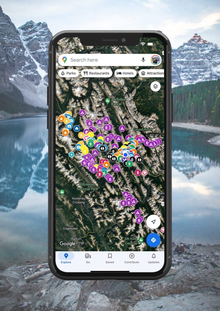
Get my 600+ Banff recommendations saved to your Google Maps app
Outdoors: 100+ hiking trails, backcountry campgrounds, ski resorts, waterfalls & lakes
Planning: lodging, restaurants, public washrooms & transit hubs
Things to do: tours, viewpoints & unique activities
I lived in Banff for years and know all the best spots!
My Featured Banff Blogs
Travel Guides
Banff Activities
Quick Banff Guide
First time visiting Canada? This page outlines all my travel tips for those new to Canada.
When to visit: this post breaks down each month in Banff with average temperatures and corresponding activities.
How to get to Banff: fly into Calgary International Airport. From here, rent a car (what I recommend), RV, or take one of the following shuttles to Banff:
- Budget: On-It runs during the summer months and Pop-a-Ride is a ride-share program. You can use my Poparide link to save $5 on your first trip.
- Professional shuttles: Banff Airporter and Brewster.
- Car rental: having access to a car is the best way to travel to/from/within Banff. This site compares the best local rates.
Best Activities in Banff: here are all my recommendations for the best tours, activities, and unique experiences in Banff & beyond.
Moraine Lake or Lake Louise: read my guide for how to get there with the new road closures. If you want to see Moraine Lake at sunrise, you can book a shuttle here.
Lodging & Camping: Here’s my guide for hotels in Banff (Organized by Category). If you’re visiting during peak summer (mid June to early September), make your lodging reservations FAR in advance. Front country and backcountry camping reservations must be made on the Parks Canada reservation system. The system typically opens in January and it’s recommended you make reservations then.
Reservations: for activities and restaurants should be made well in advance during summer. Get Your Guide and Viator are popular tour booking platforms whereas OpenTable is used for restaurants.
Parks Pass: You’ll need a National Park Pass for your vehicle for each day you’re in Banff. Passes can be purchased at the East Parks Gates, the Visitor Centre, or online. If you’ll be in any of Canada’s National Parks for more than 7 days in a 365 day period, an annual Discovery Pass offers a better rate than purchasing individual day passes.
Roam Transit: once you arrive in Banff, use the local transit service as much as possible to avoid parking issues. There are bus lines within town, plus lines to popular spots like Lake Louise and Johnston Canyon. The bus to Lake Louise should be reserved in advance.
Parking: the best spot to park is the free lot next to the train station. More information about parking in town can be found here and parking fees can be paid here. Bylaw is strict, so ensure you’re following parking rules exactly.
Wildlife Safety: 11 ways to stay safe from wildlife, bear safety, & bear basics.
Can you travel Banff with no car
How to get to Banff Without a Car
The first step to exploring Banff without a car is getting here. Typically travellers fly into Calgary airport (YYC) and take some form of public transportation from there. The below are your options to get from Calgary to Banff without a car:
On-It – is the cheapest mode of transport to Banff if you don’t have a car. They have varying seasonal schedules that typically only operate on the weekends, however they don’t do pickups at the airport – only from other locations in Calgary. Their exact schedules are always fluctuating so I recommend referencing their website for the most up-to-date information.
Poparide – car sharing platform which offers the best year round budget mode of transportation between Banff and Calgary. You can use my link to save $5 off your first trip.
Banff Airporter – door-to-door service from the airport to your hotel or campground. Although a bit pricey, I’ve personally used the Banff Airporter and had an excellent experience with them.
Brewster Express – very similar to the Airporter is Brewster Express, operated by Pursuit. They offer the same services as the Airporter, however I’ve heard the Airporter offers a slightly more professional experience.
Other Options – hitchhiking to Banff is fairly uncommon, but I’ve heard it’s somewhat easy to do if you can make your way to the Trans Canada highway. You can also hire a taxi which would cost you hundreds easily, so not the most cost effective.
If you’re coming from Vancouver – the easiest and cheapest option is to fly to Calgary and use the transit options above. Alternatively you can utilize Rider Express, however taking the bus seems much more complicated and takes almost 15hours.
I know this whole post is about travelling Banff without a car, however I honestly do recommend renting one while you’re here if you can justify the price – this website is my #1 recommended car rental site for finding the best rates. Why rent a car in Banff? You’ll fit way more into your trip and have a much easier and fuller experience. Nonetheless, you CAN totally travel Banff without a car! And in this post I’ll tell you how.
Where to Stay in Banff Without a Car
If you’re travelling to Banff without a car you actually have plenty of lodging options. Most hotels are located on Banff ave which means you stay right in the action. The further hotels like the Fairmont Banff Springs and the Rimrock are accessible via lines 1 and 2 with Roam Transit.
I’ve put together this post which outlines the best Banff hotels organized by category.
I’d recommend giving the above post a read to gain a better grasp on what each hotel offers. However if I had to recommend my personal favourite Banff lodging options they’d be the Samesun Banff Hostel (for backpackers), the Bow View Lodge (for a cheaper hotel), the Fox Hotel & Suites (for an up-scale mid-range hotel with a great spa), and the Peaks Hotel & Suites (for a full kitchen and great location).
If you’re looking for Banff cabin stays accessible without a car, you can take route 9 with Roam Transit to the Johnston Canyon Bungalows. Tunnel Mountain Campgrounds 1 and 2 (accessible via route 2 with Roam Transit) and the Two Jack Lake Campgrounds (accessible via route 6 with Roam Transit) means you can also camp in Banff without a car.
You can also access hotels in Lake Louise without a car via Roam Transit’s route 8X. My favourite hotels in Lake Louise are the Fairmont Chateau Lake Louise (bucket list & luxury), Paradise Lodge and Bungalows (cheaper rates than the Fairmont, 500m from Lake Louise), HI Lake Louise (budget hostel), and the Lake Louise Inn (best value-stay).
Banff’s Walkable Attractions
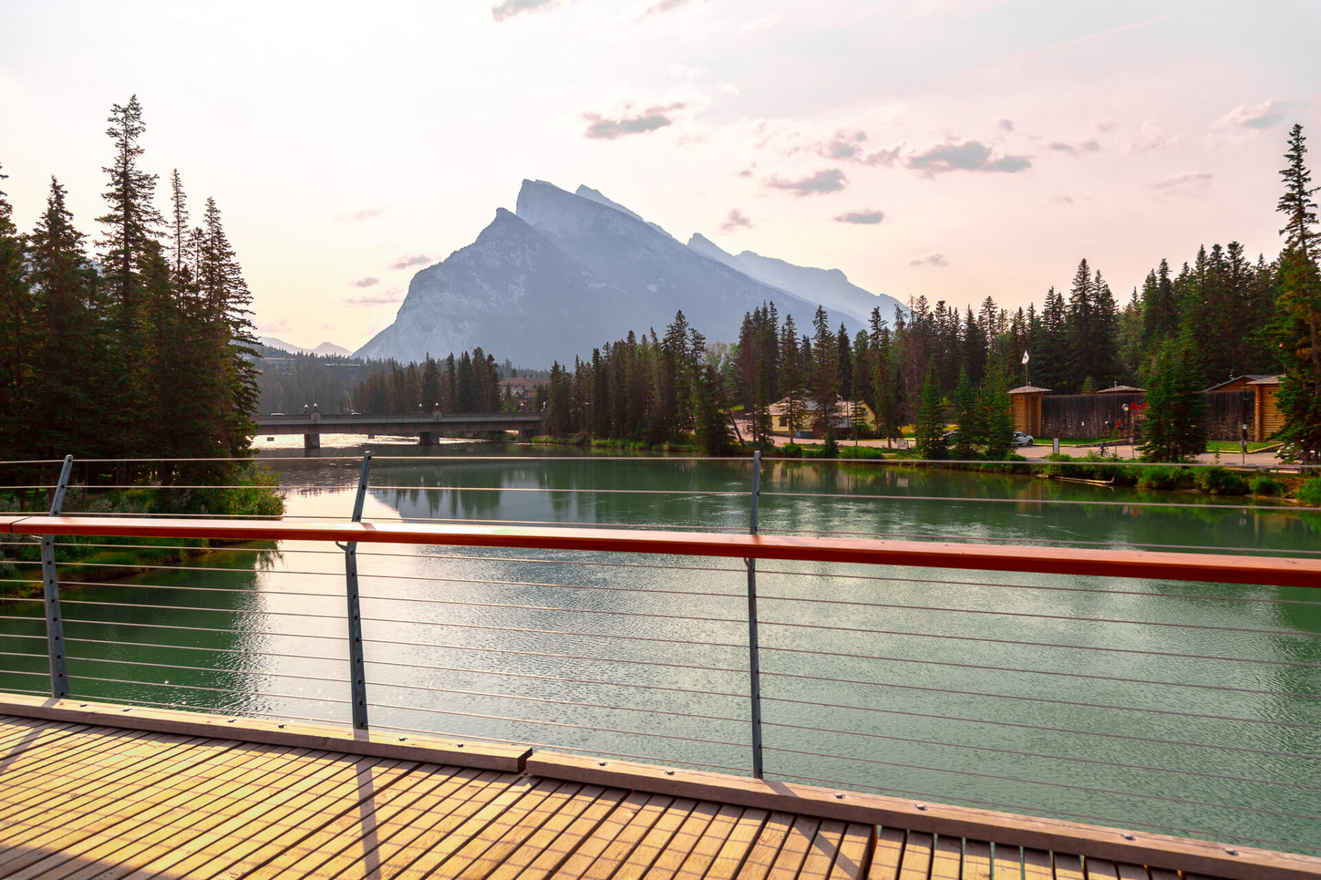
Public transportation ain’t your thing? Here’s everything you can do in Banff without a car and without using Banff’s public transportation system – aka every “walkable” attraction in Banff.
ps – these spots are all marked on my map of Banff and Lake Louise.
Canoe Rentals – the Banff Canoe Club (located here) offers the best canoe rental prices in Banff. Grab a canoe here and explore the Bow River. No canoe transportation required as the canoe club is located right on the river.
Relax by the River – speaking of the Bow River, there’s a trail that runs along it from the canoe club to Bow Falls. This is a great place for a walk and there’s many spots where you can relax along the way to take in the views.
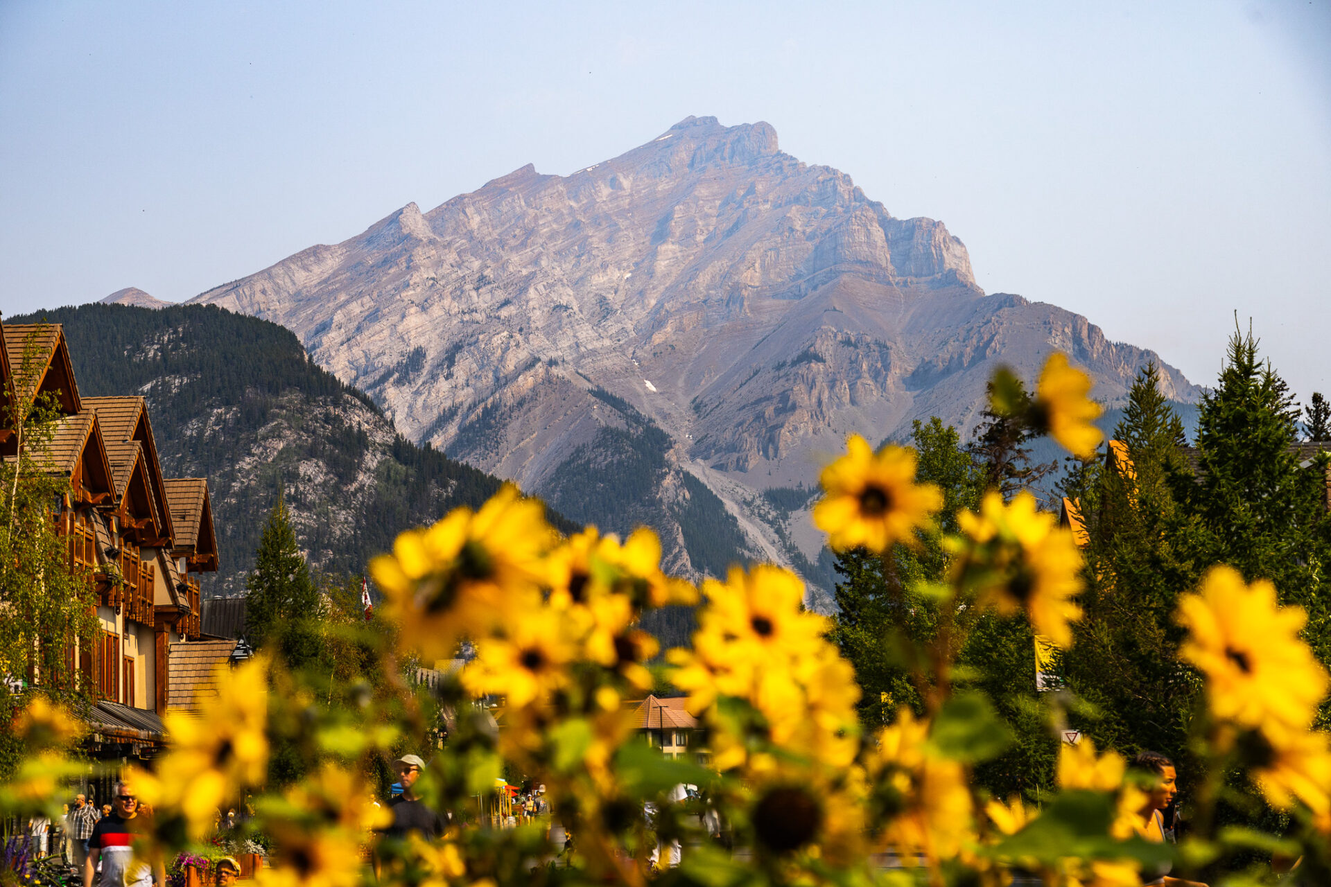
Banff ave – Banff ave is the perfect walkable activity in Banff as it’s located right in town. This is where all the restaurants and shops are located. Don’t forget to get your photo taken in front of Cascade Mountain!
Rent a bike – if you’re in Banff with no car, rent a pedal bike or an e-bike from one of the following spots in town: Bactrax, Banff Cycle, or Bear Street Outfitters. My favourite biking spots are around the Fairmont golf course loop (GPS location) or to Vermillion Lakes (GPS location). You can also check out the photo-ops listed a few bullet points below.
Museums – check out the Buffalo Nations Museum to learn about Canada’s Indigenous peoples, Cave & Basin National Historic Site for hot springs (no swimming), Banff Park Museum to learn about Banff’s wildlife, and the Whyte Museum for Banff’s history – how Banff became Banff.
Spas – Although not “walkable,” you can find an immersive spa experience at the Fairmont Banff Springs (via line 2 with Roam Transit) and a community-style natural hot spring at the Banff Upper Hot Springs (via line 1 with Roam Transit). In town there’s a cave-inspired spa at the Fox Hotel and a regular spa offering full spa services at the Caribou Lodge.
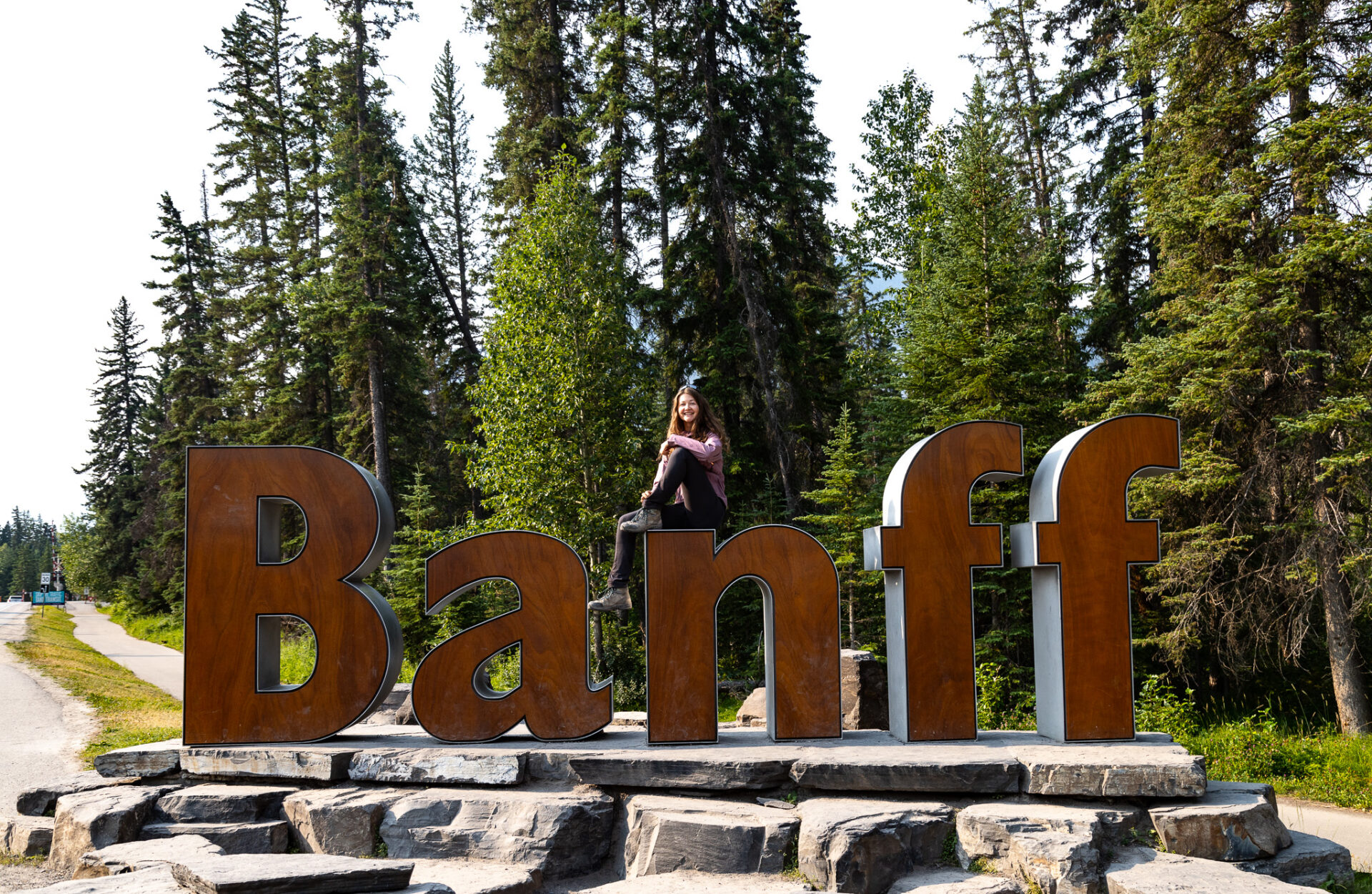
Photo-ops – you can click the following spots for their GPS coordinates: Bow Falls, Banff Sign, Surprise Corner, Tunnel Mountain Reservoir (accessible via route 2 with Roam Transit). These spots are all listed on my Banff & Lake Louise map and they’re all super easy to get to without a car.
Recreation Grounds (“rec” grounds) – Banff’s outdoor community centre which offers a basketball court, public fire pits, a baseball diamond, soccer fields, and more. GPS coordinates.
Horseback Riding – also located at the rec grounds is Banff Trail Riders. This is another Banff activity you can do without a car as the stables are within walking distance from town. This is their most popular tour.
Hiking – there are plenty of hikes you can do in Banff without a car. Click here to skip ahead and see your options.
Top Tours & Excursions in Banff
Banff Gondola – epic views from the top of Sulphur Mountain.
Banff Hop on Hop off – explore the park at your own pace.
Lake Minnewanka Cruise – take a scenic boat ride down the largest lake in Banff.
Moraine Lake sunrise – chartered bus to see alpenglow on Canada’s most beautiful lake.
Norquay via ferrata – epic beginner friendly climbing route across iron bars on Mt Norquay.
Sunshine Meadows Gondola – find wild alpine flowers and hike around pristine alpine lakes.
Click here for a complete list of the Banff tours I recommend:
Public Transportation in Banff + Local & Regional Routes
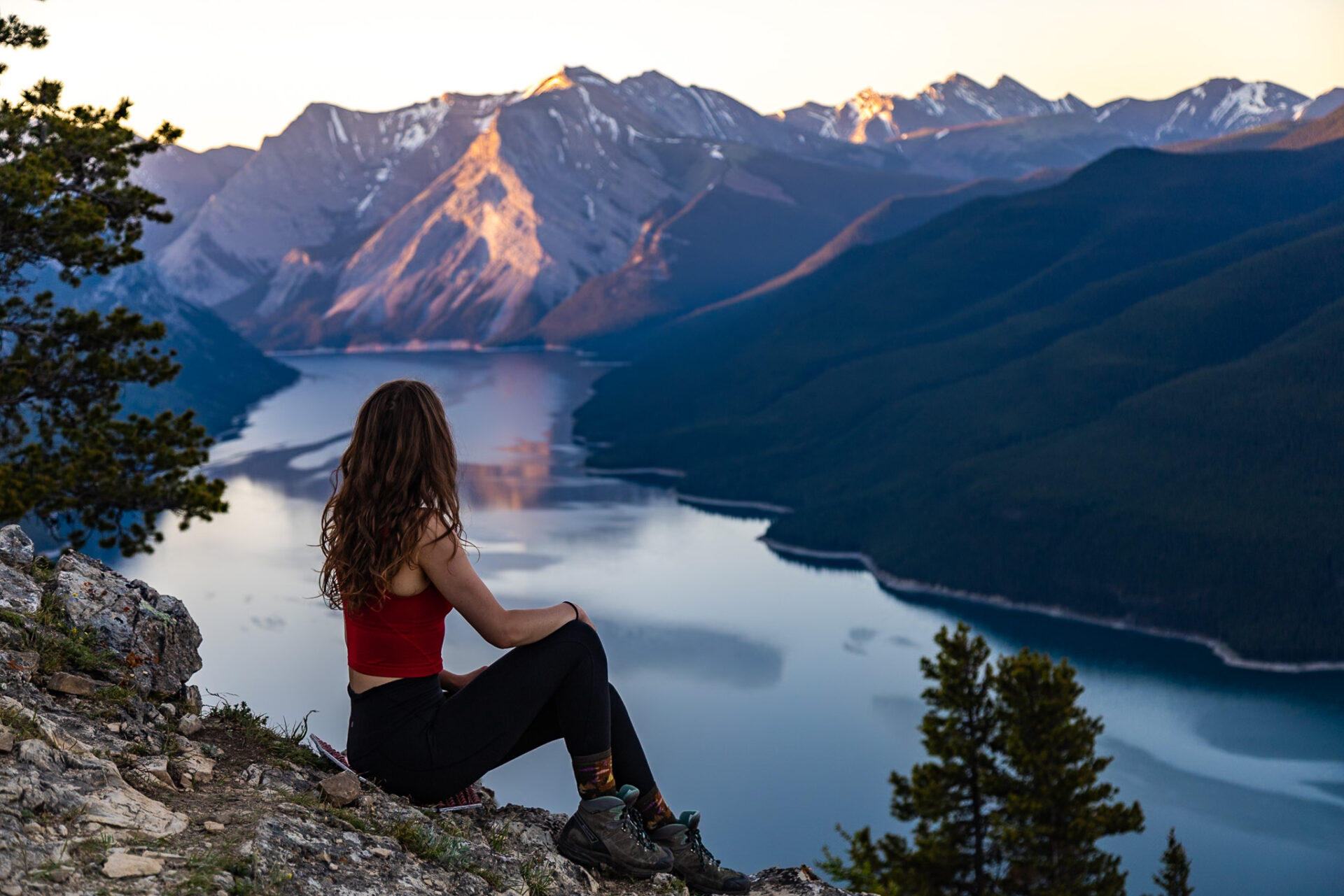
Banff’s local and regional transportation systems are run by Roam Transit. Bus fares and routes are outlined below.
How to pay for the buses in Banff – bus fares can be paid ahead of time through the ‘Token Transit’ app. You can tap your pre-purchased ticket when boarding or pay in exact change when boarding. No cards can be used and no change is carried by the bus drivers. You can also pre-purchase multi-use tickets at the Banff Visitor Centre – located here – for a better rate if you plan to use the bus system often.
ps – important bus pickup/drop off spots are marked on my map of Banff and Lake Louise for planning convenience.
Roam Transit, Route 1 – Banff Local

Route 1 is Banff’s primary local bus route. It runs from Marmot Crescent (outside A&W) to the Banff Gondola and vice versa with stops all over Banff ave. If you don’t have a car in Banff this route will be super useful to you as it’ll cut out plenty of walking time going up and down Banff Ave. If you for some reason have to access Banff’s Industrial area without a car, this route also makes a few stops there throughout the day.
If you plan to visit the Banff Gondola without a car (which I’d recommend regardless as parking is crazy), you can book tickets ahead of time here. If you’re going to the gondola via route 1 I’d recommend getting on this bus before it hits Elk Street Transit Hub (outside IGA) as this stop fills the bus entirely during the summer months. Boarding ahead of Elk Street ensures you’ll get a seat.
Route 1 costs $2 per person, per trip.
Click here to skip ahead & see the hikes in Banff you can do without a car via route 1.
Roam Transit, Route 2 – Banff Local (Campgrounds & Fairmont)
Route 2 connects the Tunnel Mountain Campgrounds and the Fairmont Banff Springs to downtown Banff. During summer when the campgrounds are full this route fills entirely and the bike rack on the front of the bus is typically full. Meaning if you have a bike there’s a high chance you may not be able to board.
If you’re camping in Banff without a car, this bus is ideal as it connects you to the areas of Banff which will provide you with entertainment and food – there are limited food options near the campgrounds and the walk to downtown Banff is 1hr+.
This route is $2 per person on the way to the campgrounds, however it’s free coming back into town from the campgrounds. There are various stops down Banff ave and within the residential areas of town.
Click here to skip ahead & see the hikes in Banff you can do without a car via route 2.
Roam Transit, Route 3 – Canmore Regional + Local Routes
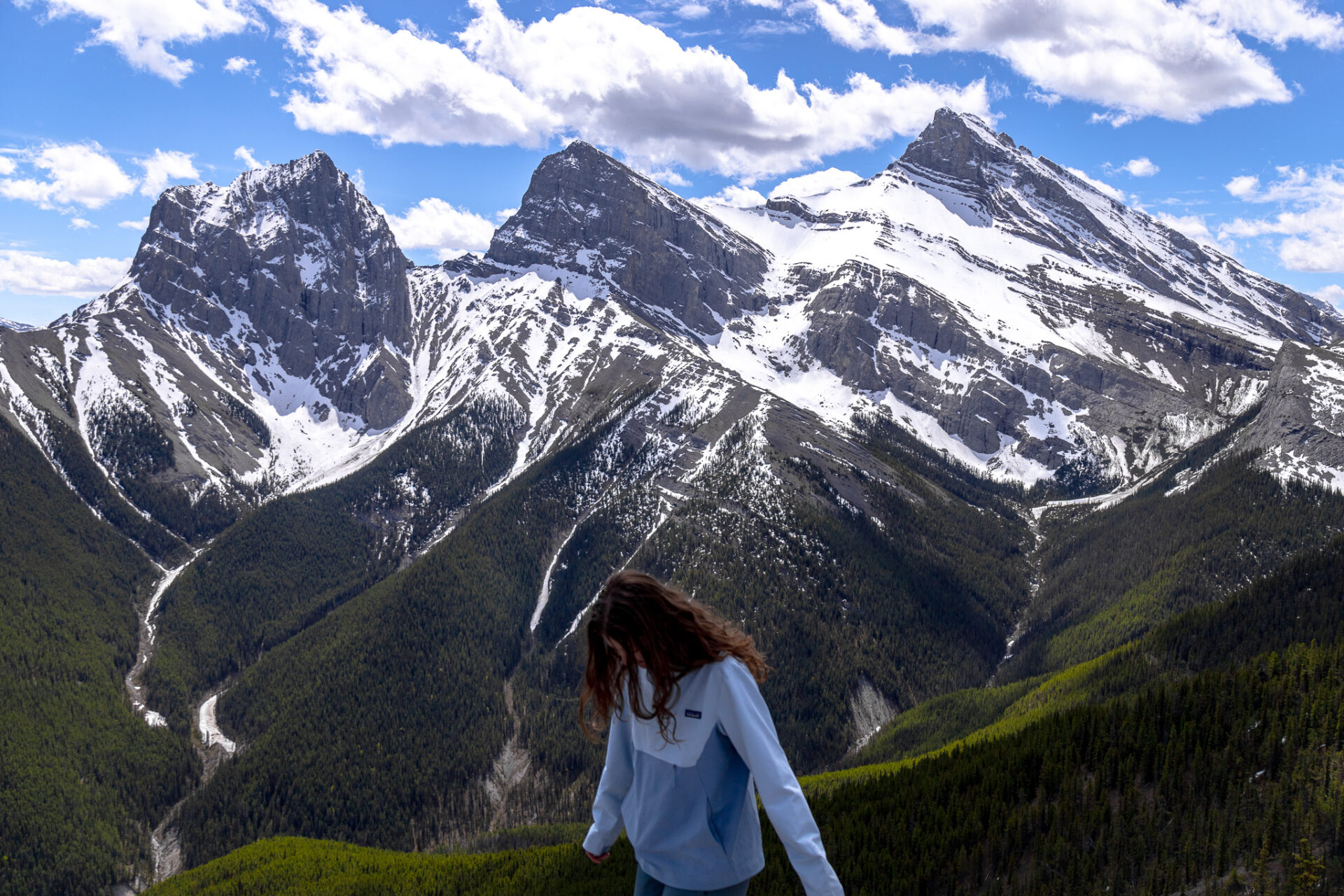
Route 3 is the regional route connecting Banff and Canmore – pay attention as there’s both a weekend and a weekday schedule for this route. The bus costs $6 per person, per trip ($12 roundtrip) and runs early in the morning to late in the evening. The bus stop does pickups in Banff at the High School Transit Hub across from IGA and Hotel Canoe.
From 9th Street (which is the main transit stop in Canmore) you can also connect to the free local Canmore routes: 5C, 5T, and 12. 5C connecting to the Cougar Creek area, 5T connecting to the Three Sister’s area, and the 12 connecting to the Nordic Centre and Grassi Lakes.
ps – the Nordic Centre is a great spot for frisbee golf, xc skiing, trail running, and mountain biking.
Click here to skip ahead & see the hikes in Banff you can do without a car via route 3 and local Canmore routes.
Roam Transit, Route 4 – Cave & Basin
Route 4 is a seasonal route connecting downtown Banff to Cave and Basin; a National Historic site and the “birthplace” of Banff National Park. It only operates in summer (typically mid May to the end of September) and costs $2 per person, per trip. There are various pickups points along Banff ave.
Click here to skip ahead & see the hikes in Banff you can do without a car via route 4.
Roam Transit, Route 6 – Lake Minnewanka
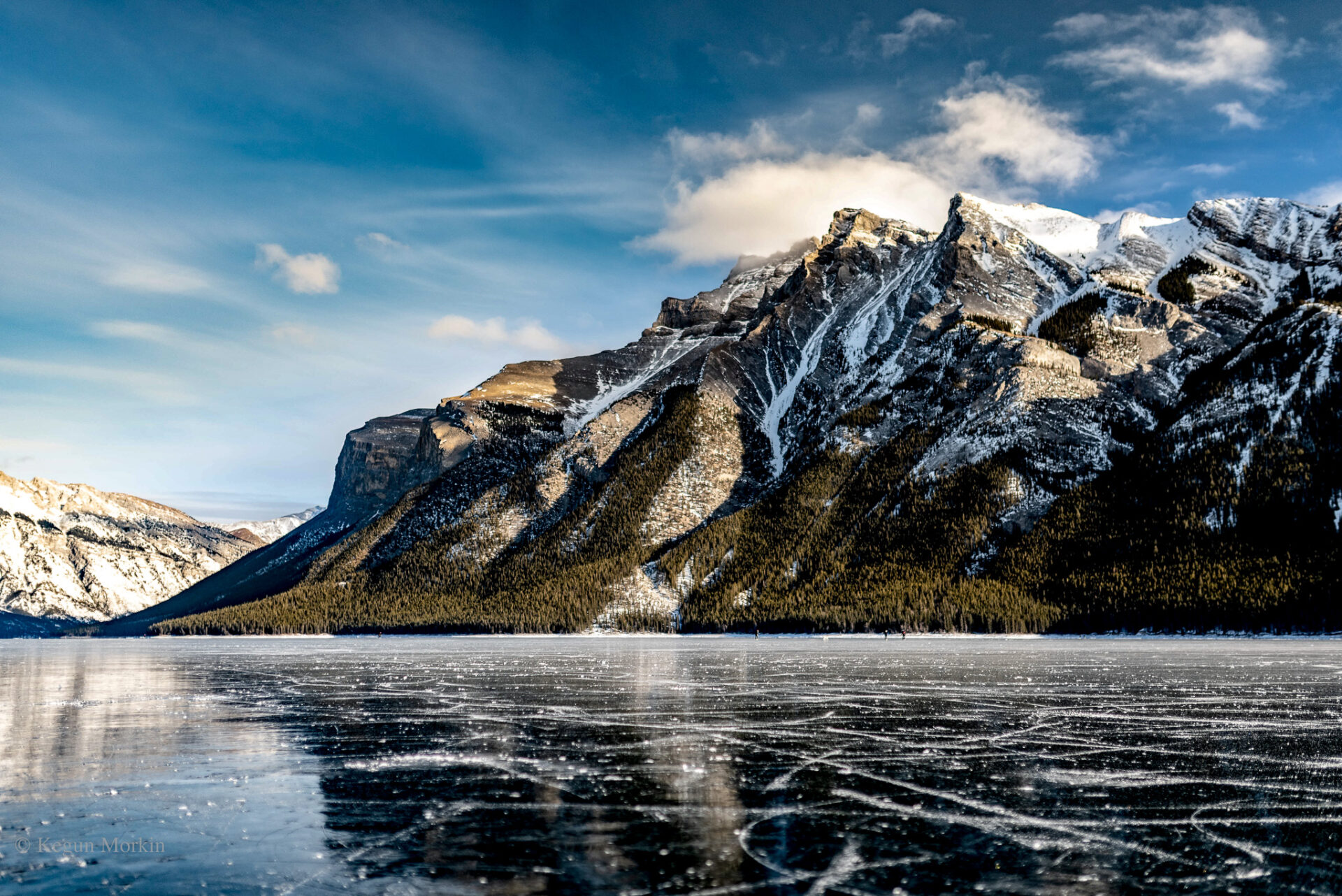
Route 6 is one of my favourite routes in Banff. It’s especially useful if you’re travelling Banff without a car as it connects downtown Banff to all the lakes along the Lake Minnewanka Scenic Dr.
This bus is how you’ll access Cascade ponds, Johnson Lake, Two jack Lake, Lake Minnewanka, and the Two Jack Lake Campgrounds – approximately 25mins from downtown Banff to Lake Minnewanka.
Bus fares for route 6 are $2 per person, per trip. Pickups are done at Hotel canoe and the Banff High School Transit Hub which is across the street from IGA.
Click here to skip ahead & see the hikes in Banff you can do without a car via route 6.
Banff Google Map: 600+ Pins

Get my 600+ Banff recommendations saved to your Google Maps app
Outdoors: 100+ hiking trails, backcountry campgrounds, ski resorts, waterfalls & lakes
Planning: lodging, restaurants, public washrooms & transit hubs
Things to do: tours, viewpoints & unique activities
I lived in Banff for years and know all the best spots!
Roam Transit, Route 8X – Lake Louise Express
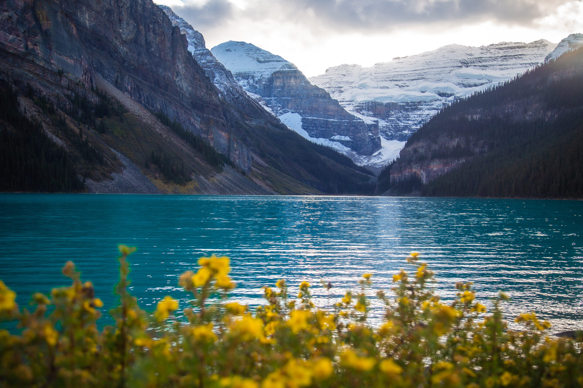
The 8X route is the easiest way to access Lake Louise without a car. It’s a year round service that must be reserved relatively far in advance during the summer months. It’s $20 round-trip, however you can purchase a Superpass for $25 instead which gives you access to the Parks Canada connector shuttle to Moraine Lake too.
If you don’t manage to snag a reservation, this route does permit walk-ons subject to availability. This post has more detailed information about the 8X route and walk-ons.
Click here to skip ahead & see the hikes in Banff you can do without a car via route 8X.
Roam Transit, Route 9 – Johnston Canyon
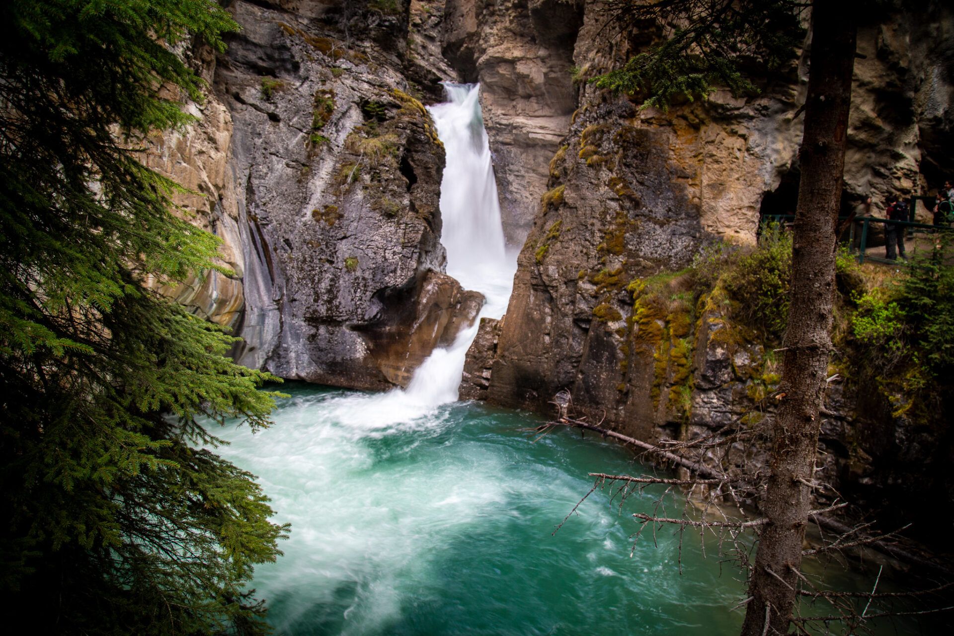
Route 9 connects to Johnston Canyon from the Banff High School Transit Hub across the street from IGA. This route costs $10 roundtrip and takes approximately 45mins. During the summer months (mid May to mid October) there are daily departures whereas in winter, spring, and fall the route only operates on weekends and statuary holidays.
More: Johnston Canyon Hike Guide + Winter Tips
The route 9 bus is typically busy during the summer months, so arriving early at the bus stop is recommended. This bus operates on a first-come, first-serve basis rather than through a reservation system.
This route does not operate as frequently as some of the other bus routes in Banff and cell service at Johnston Canyon is limited. I recommend screenshotting the bus schedule before you go so you have an idea of the return schedule to Banff.
Click here to skip ahead & see the hikes in Banff you can do without a car via route 9.
Roam Transit, Route 10 – Moraine Lake (Available During Larch Season)
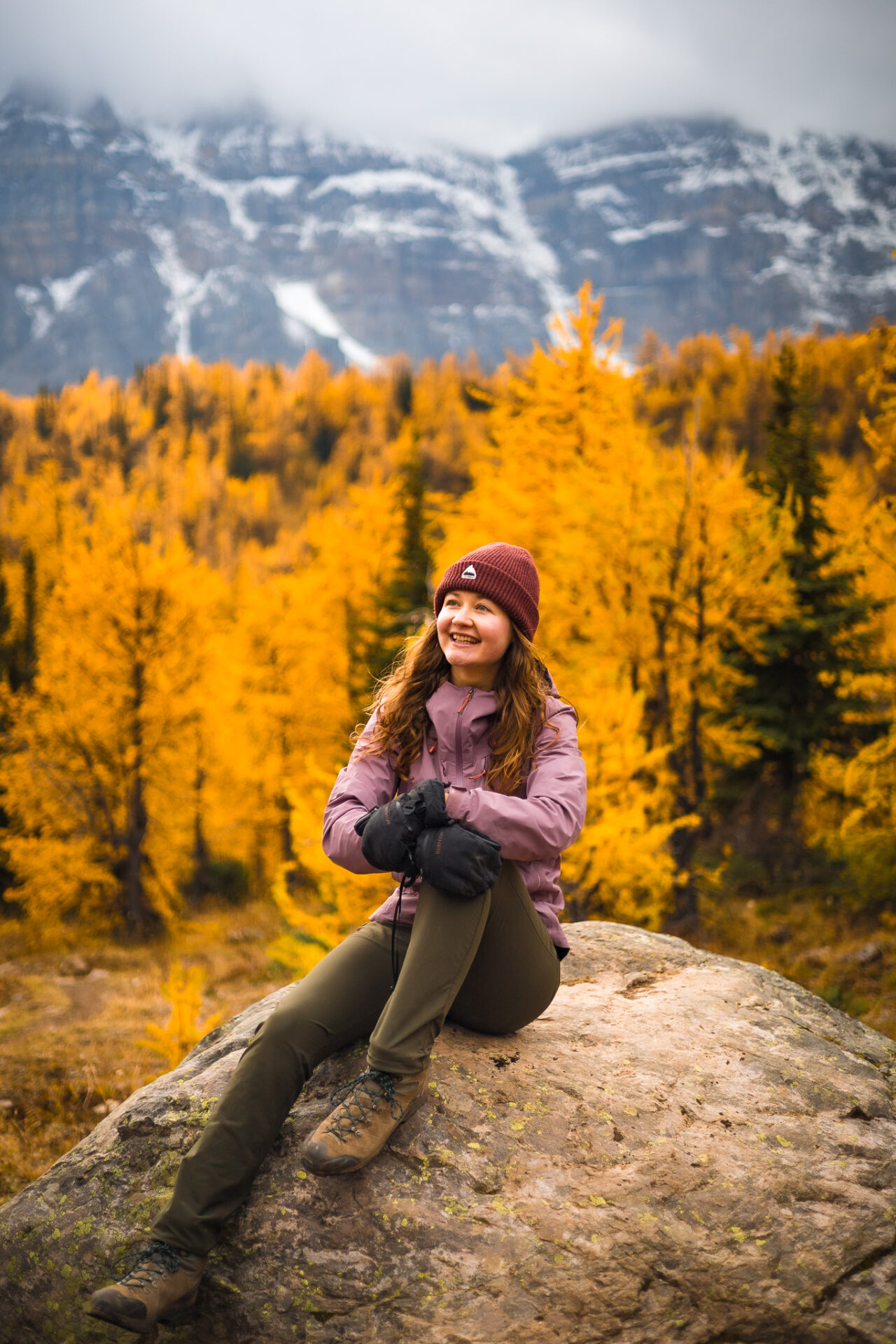
Route 10 is one of the newer bus routes in Banff. It operates ONLY during Larch season – dates vary by season depending on the seasonal Moraine Lake road closure. Route 10 typically runs from mid September to October 10th ish.
This service is direct to Moraine Lake from the Banff High School Transit Hub which is typically only offered through pricier tour companies. Bus fares are $25 roundtrip. Make sure you reserve this bus in advance to guarantee a seat.
Walk-ons for Roam’s route 10 to Moraine Lake are permitted, but are subject to availability – more information about walk-ons can be found in this post.
Click here to skip ahead & see the hikes in Banff you can do without a car via route 10.
Free shuttles in Banff
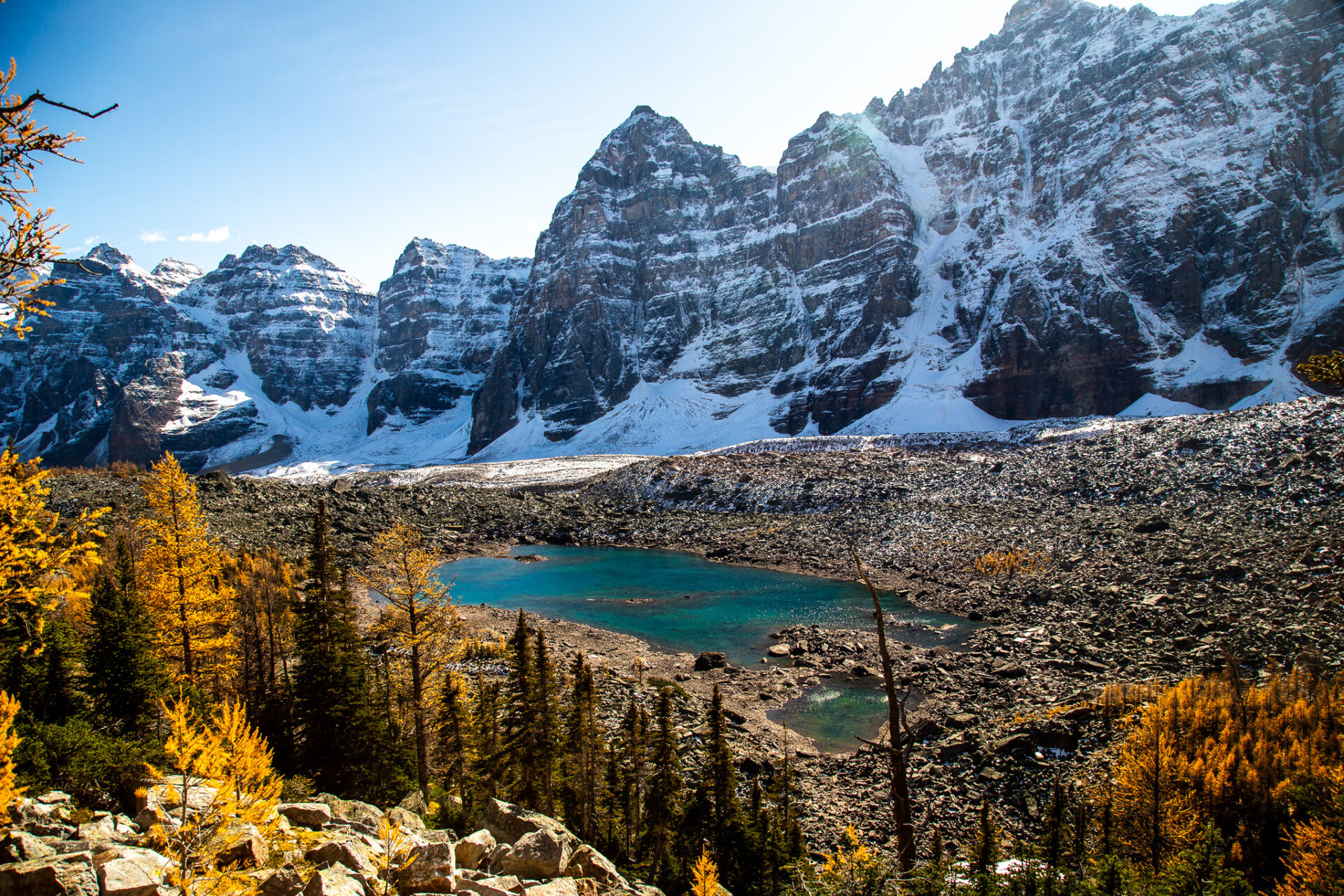
Free shuttles in Banff operate during the summer and winter months to the 3 ski resorts in Banff: Norquay, Sunshine Village, and Lake Louise. There are various activities accessible at each resort in both seasons – and my favourite, hiking during the summer months.
If you’re wondering which ski resort to visit during winter I’ve broken down each Banff ski resort’s pros and cons here.
ps – the main shuttle pickup/drop off spots are marked on my map of Banff and Lake Louise for planning convenience.
Norquay Free Shuttle
The Norquay summer shuttle operates from early June to mid October and the winter shuttle operates from November to April. During the winter months there’s skiing here, however in summer you can take a sightseeing chairlift to grab a bite with a view at the tasty Cliffhouse Bistro. Alternatively, you can challenge your adventurous side with Norquay’s via ferrata.
You can see Norquay’s shuttle details here. The shuttle has various pickup times and points throughout the downtown Banff area.
Click here to skip ahead & see the hikes in Banff you can do without a car via the free Norquay shuttle.
Sunshine Village Free Shuttle
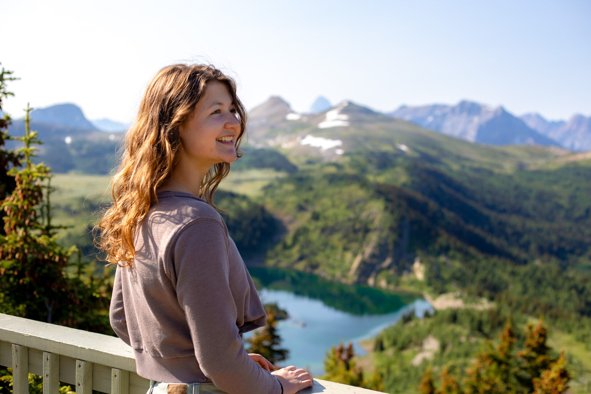
The free Sunshine Village shuttle operates daily during the winter season (November to May) and has a summer schedule which typically operates from the end of June to mid September. At Sunshine Village you can purchase a sightseeing ticket during the summer months to visit Sunshine Meadows – a field of alpine wildflowers in Banff’s backcountry. Sunshine Meadows is one of the best places to see wildflowers in Banff if you visit mid July to mid August.
Banff ski resources: SkiBig 3 Breakdown: Best Ski Resorts in Banff & my Local’s Guide to Skiing Sunshine Village.
You can see the Sunshine Village free shuttle here. It has various pickup times and points on Banff Ave closer to the hotels.
Click here to skip ahead & see the hikes in Banff you can do without a car via the free Sunshine Village shuttle.
Lake Louise Ski Resort Free Shuttle
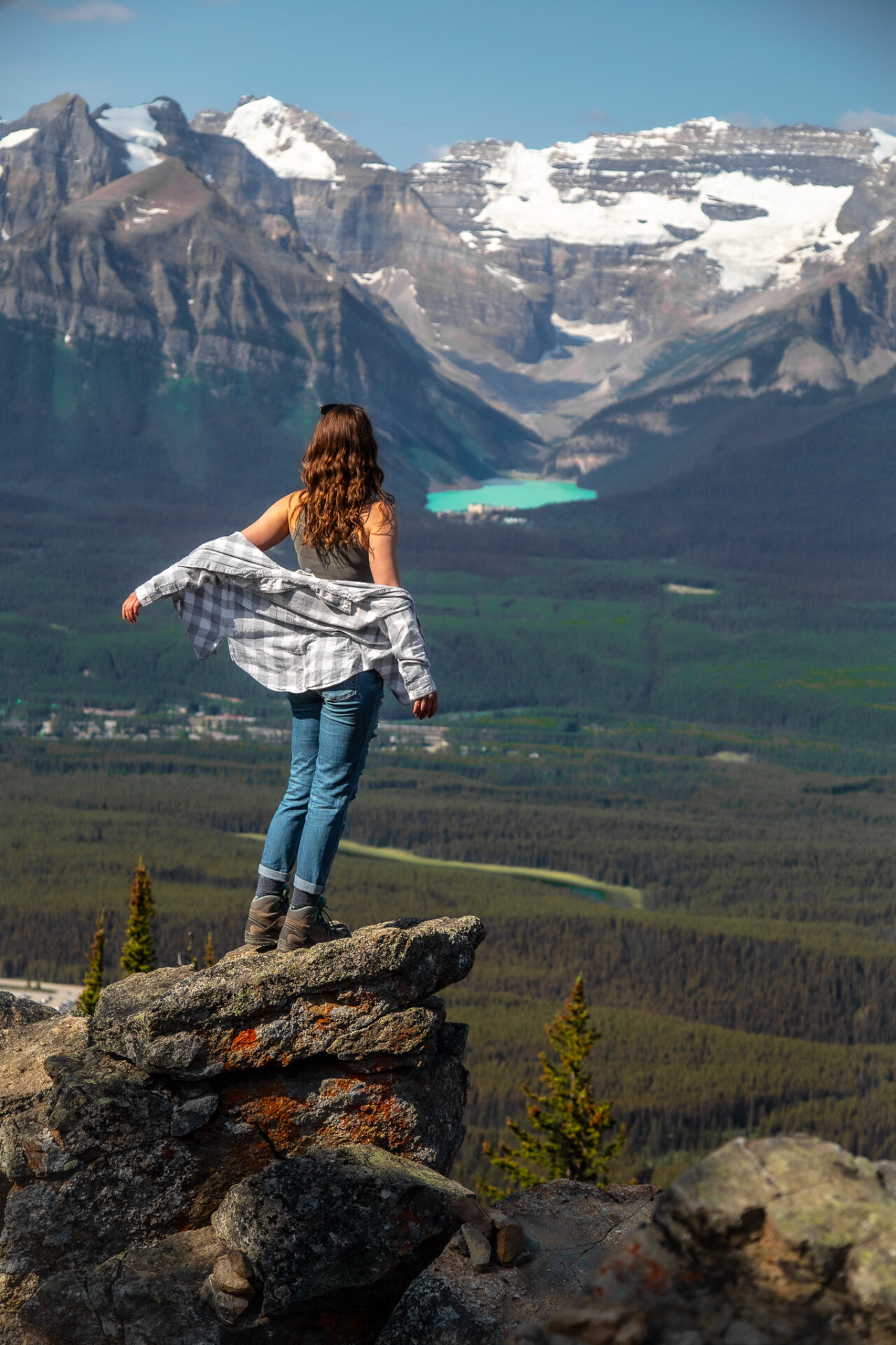
The Lake Louise Ski Resort has a winter shuttle direct to the resort from the town of Banff. The shuttle runs from November to May and has various pickup points by the hotels in Banff – schedule details can be found here.
The free Lake Louise summer shuttle (aka the Parks Canada – Park & Ride connector) typically runs from mid May to mid October. It does not depart from Banff, but rather from Lake Louise (from the lake, not the town). This means you’ll have to first take the 8X route with Roam Transit from Banff to Lake Louise (make sure you book the 8X in advance), then catch the connector to the ski resort.
You do not have to reserve the Park & Ride connector, however it is recommended as walk-up spots are subject to availability and not guaranteed. More information about the shuttle can be found here.
At the ski resort in summer you can take a wildlife sightseeing chairlift where grizzlies are often seen, grab a bite at the tasty Whitehorn Bistro, and see Lake Louise from a unique bird’s eye perspective. You can book your chairlift tickets here.
Click here to skip ahead & see the hikes in Banff you can do without a car via the free Lake Louise shuttle.
How to Travel Canmore Without a Car
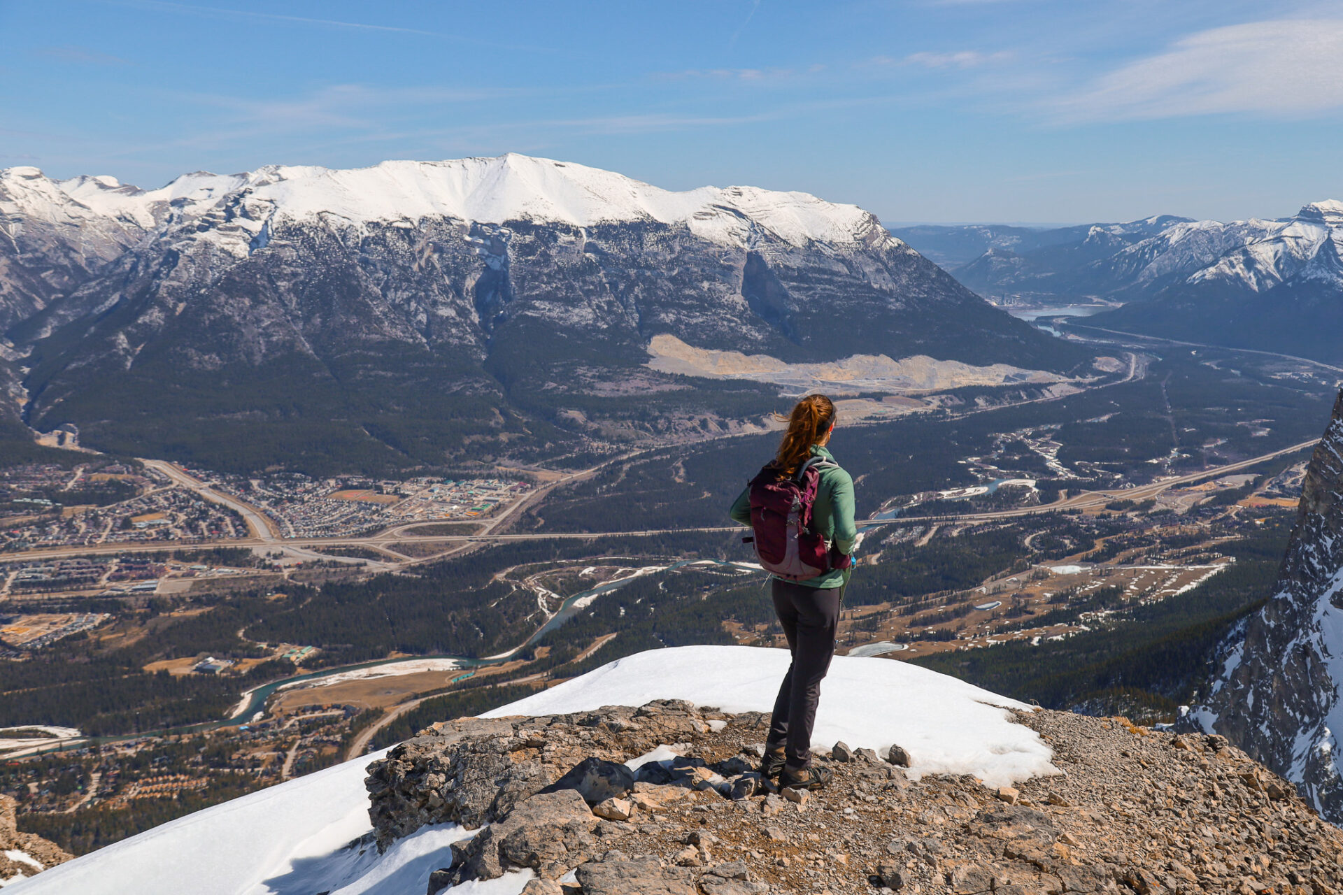
If you’re travelling Calgary to Canmore without a car, you can refer to the options listed above. The ride sources for Calgary to Banff without a car are the same for Calgary to Canmore without a car. If you need to get from Banff to Canmore without a car, you can take route 3 with Roam Transit.
If you’re travelling Canmore without a car, there are 3 local bus routes you can take advantage of:
- Route 5C: connects downtown Canmore with the Cougar Creek area, Elevation Place (climbing, swimming pool, and gym), and the main shopping areas in town.
- Route 5T: connects downtown Canmore with the Three Sisters Area.
- Route 12: operates mid May to mid September and connects downtown Canmore with the Nordic Centre and Grassi Lakes.
If you’re staying in downtown Canmore or take route 3 from Banff to downtown Canmore, many places, attractions, and shops are within walking distance – aka travelling Canmore without a car is easy-peasy.
Click here to skip ahead and see hikes you can do in Canmore without a car.
Banff Google Map: 600+ Pins

Get my 600+ Banff recommendations saved to your Google Maps app
Outdoors: 100+ hiking trails, backcountry campgrounds, ski resorts, waterfalls & lakes
Planning: lodging, restaurants, public washrooms & transit hubs
Things to do: tours, viewpoints & unique activities
I lived in Banff for years and know all the best spots!
How to get to Lake Louise Without a Car
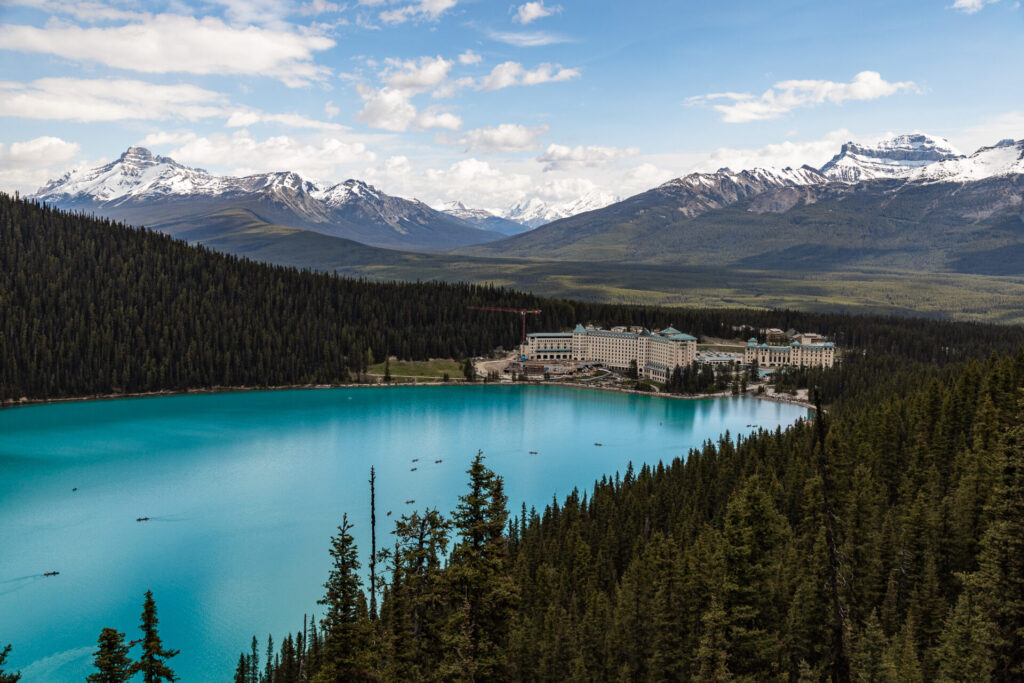
The easiest way to get to Lake Louise without a car is via route 8X with Roam Transit which goes from the High School Transit hub across the street from IGA direct to the lake. It’s recommended to reserve this bus in advance, however walk-ons are accepted subject to availability. In detail I’ve described how to get to Lake Louise without a car in this post. I’d recommend giving it a read before you go to ensure you fully understand the process. It can be confusing!
Alternatively, you can book a shuttle through a tour operator. This transfer from Banff to Lake Louise is run by a local tour company – I know plenty of their guides and can confirm the legitimacy of the company. Alternatively this company is run by a local couple – I’ve used their service to Moraine Lake multiple times and have had great experiences.
ps – important bus pickup/drop off spots are marked on my map of Banff and Lake Louise for planning convenience.
How to get to Moraine Lake Without a Car
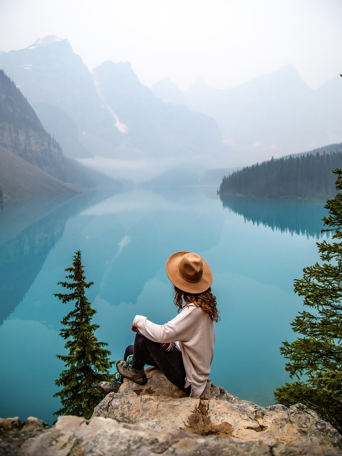
Detailed information regarding how to get to Moraine Lake without a car can be found in this post.
If you’re trying to get to Moraine Lake without a car, the best option is to purchase a Superpass with Roam Transit which gives you unlimited access to all Roam’s routes for 1 day PLUS the Parks Canada Connector shuttle that brings you to Moraine Lake. I briefly spoke about the Superpass option above, however you can find more detailed information about the pass in this post.
From mid September to around October 10th there’s also route 10 which goes direct to Moraine lake from downtown Banff. This is by far the easiest way to get to Moraine Lake without a car, however the operating dates are limited. Make sure you book this bus in advance to ensure you get a seat. Walk-ons are accepted subject to availability.
If you want to see Moraine Lake at sunrise (my favourite time of day to see the lake), this tour does hotel pickups in both Banff and Canmore. If you stay in Lake Louise the night prior, You can also travel to Moraine Lake for sunrise with this company which I have personal positive experiences with.
ps – important bus pickup/drop off spots are marked on my map of Banff and Lake Louise for planning convenience.
Tours around Banff National Park
If you’re travelling Banff without a car or want to hike in Banff without a car, these are some of the most popular tours in the area you can check out:
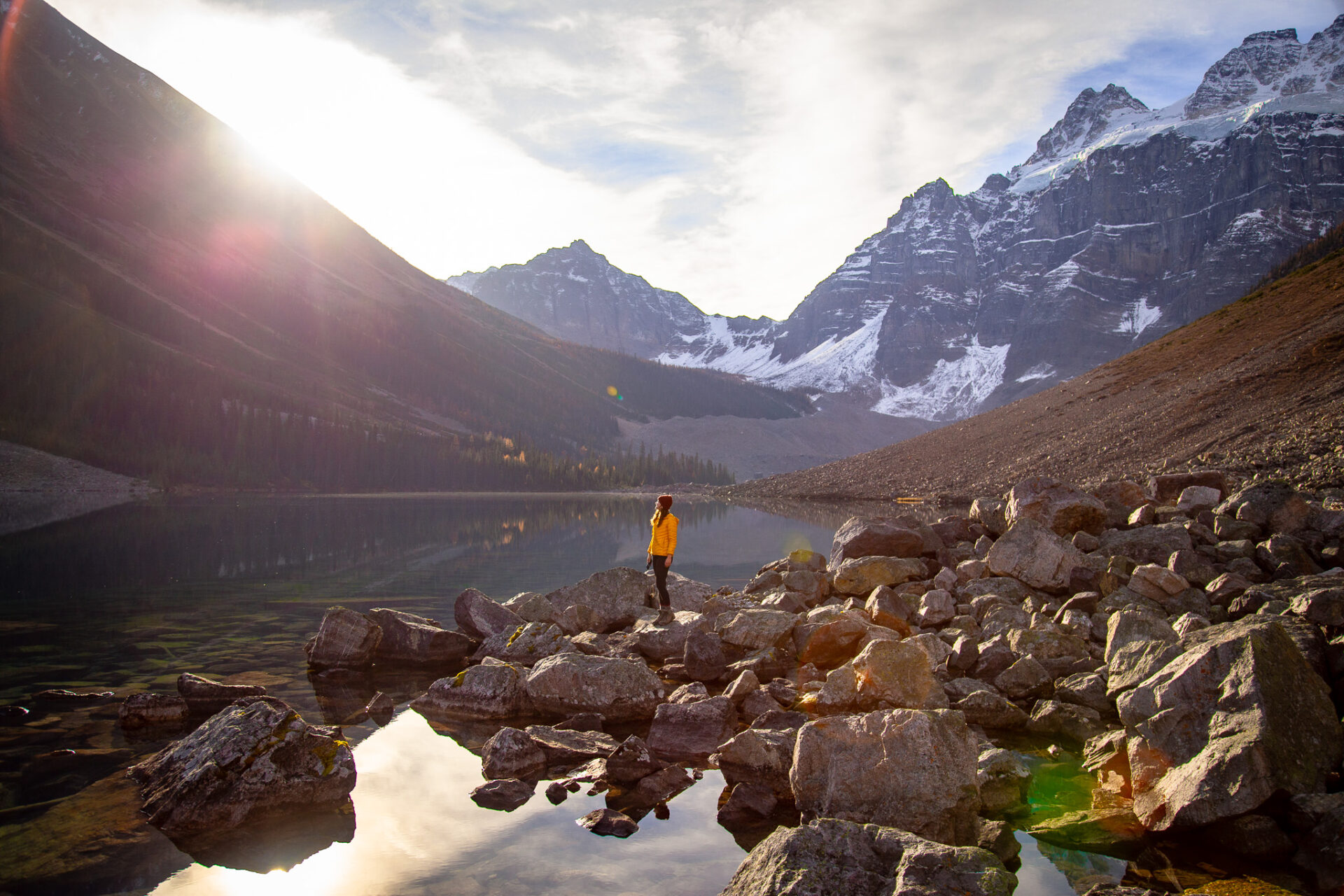
Banff Highlights – an all-around tour for those travelling Banff without a car. The tour stops at Lake Minnewanka, Lake Louise, Moraine Lake, and travels the Icefields parkway up to Peyto Lake; stopping at both Bow and Peyto Lake along the way. This tour departs from the town of Banff.
Columbia Icefields Tour – This tour ventures a bit further up the Icefields Parkway than the previous tour mentioned and includes your admission ticket to the Columbia Icefields. This tour departs from the town of Banff.
Banff Gondola – epic views from the top of Sulphur Mountain. Accessible via route 1 with Roam Transit.
Banff Hop on Hop off – visit Johnston Canyon, Lake Louise, Moraine Lake, Banff, and/or the Lake Louise Gondola on a tour that was literally designed for people travelling Banff without a car. This tour departs from the town of Banff.
Lake Minnewanka Cruise – take a scenic boat ride down the largest lake in Banff. Accessible via route 6 with Roam Transit.
Moraine Lake sunrise – chartered bus to see alpenglow on Canada’s most beautiful lake. Departs from the Banff train station.
Norquay via ferrata – epic beginner-friendly climbing route across iron bars on Mt Norquay near the town of Banff. You can quickly/cheaply get here without a car via the free Norquay shuttle.
Sunshine Meadows Gondola – find wild alpine flowers and hike around pristine alpine lakes in Banff’s backcountry. Accessible via Sunshine’s free public shuttle.
Horseback Riding – take a 2hr horseback ride led by knowledgeable locals and explore the surrounding mountain scenery. Meeting point is at the Rec Grounds – walkable from the town of Banff.
You can find more activities in the Canadian Rockies I recommend here
Hikes in Banff Accessible by Bus
The following are all hikes you can do in Banff without a car. The hikes will all be organized via the bus route they’re connected for your convenience.
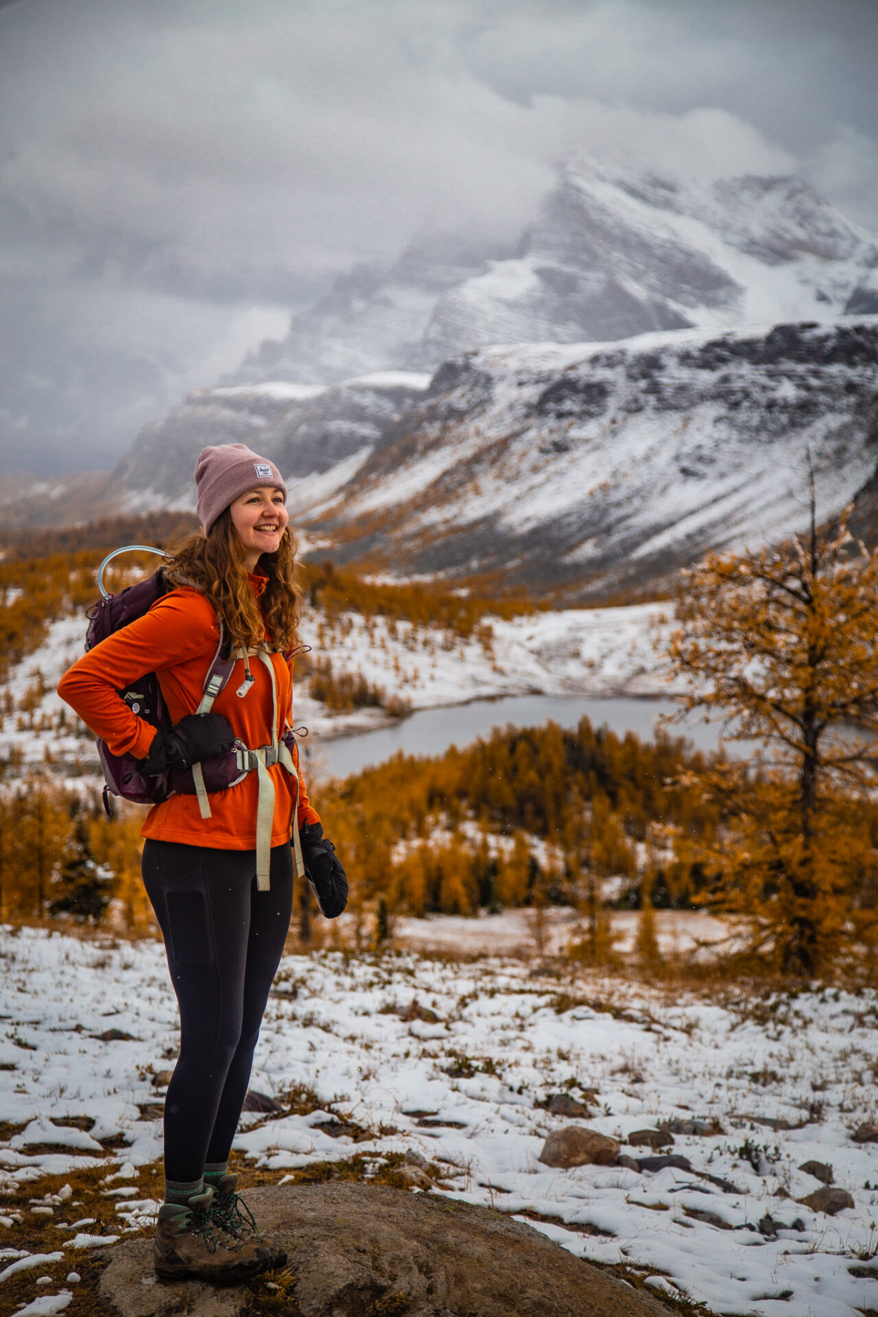
If you need to reference bus prices, pickup points, operational dates, or other important route information – click here to go back.
ps – I’ve marked every hike in Banff (and every hike mentioned in this post) on my Banff and Lake Louise map.
Hikes in Banff you Can Walk to
These hikes in Banff you can walk to are all easy and a good choices for kids and families. They’re some of the most straight forward hiking trails in the entire national park.
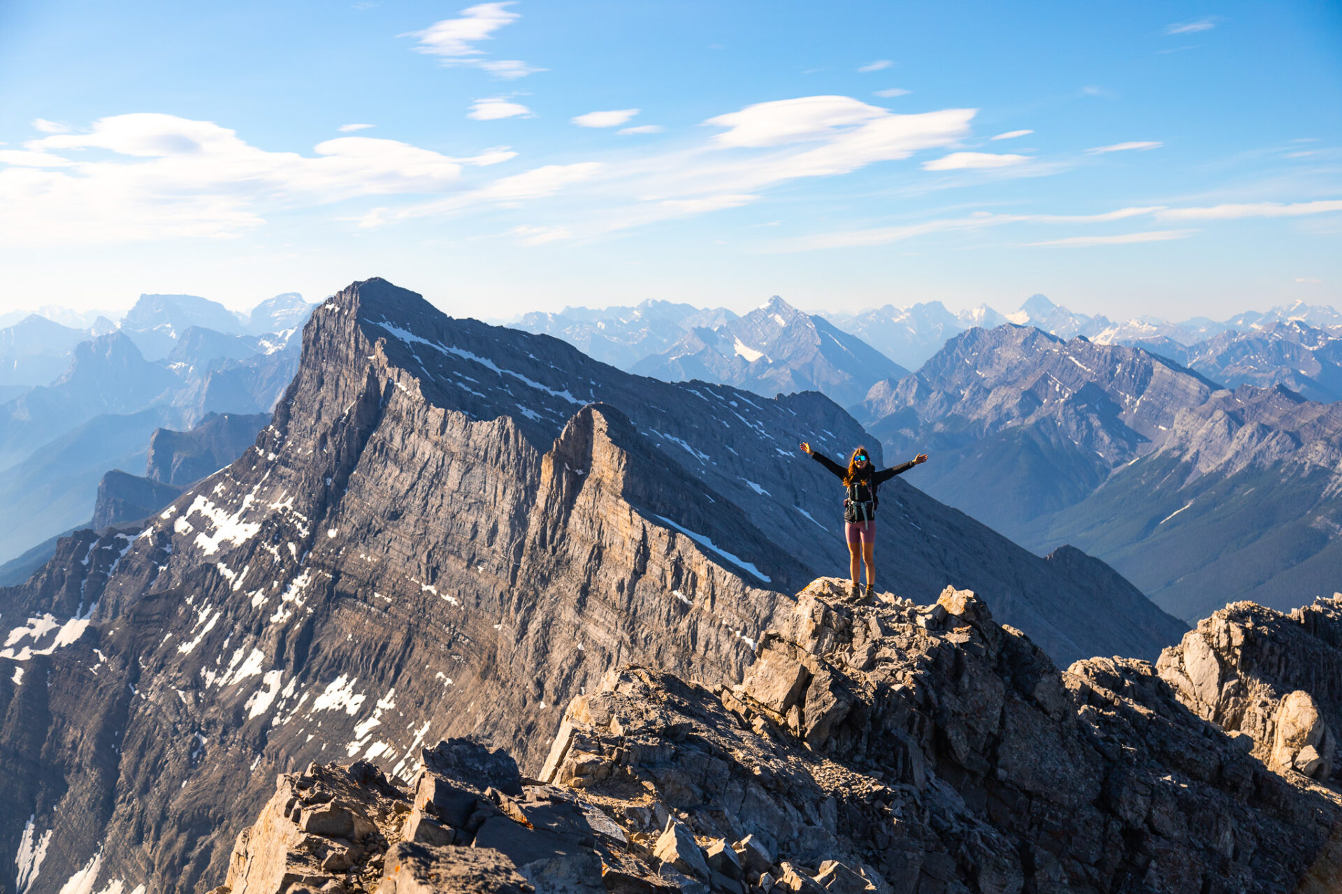
The Bow River Walk is a simple trail next to the Bow River which flows through the town of Banff.
Tunnel Mountain is the smallest and easiest summit hike in Banff. This trail is great for new hikers looking to tackle a manageable amount of elevation gain. Don’t be fooled though – despite Tunnel’s tiny size, the views you get from the top are epic.
Spray River Loop: The Spray River Loop is longer than the other hikes mentioned here, however you can turn back at any point to make it shorter. The trail follows a forested area near the Spray River. This is a great spot for xc skiing in winter.
The Hoodoos Trail is one of my favourite hiking trails within the town of Banff. The trail starts at Surprise Corner and exits at the Hoodoos viewpoint which is the best spot in Banff to watch sunset. The Hoodoos Trail follows a wooded area next to the Bow River away from the crowds of Banff. There are plenty of spots to chill along the trail and there are lots of viewpoints for pictures too.
Fenland Loop: this is the easiest walk in town. It’s short, sweet, and can be hiked year-round. There’s nothing overly exciting about it, however there’s a cute creek alongside the trail. You can connect to Vermillion Lakes road from here rather than walking all the way around.
Mount Rundle is NOT an easy hike – it’s one of the more demanding and challenging scrambles in the area. It’s accessed via the Spray Valley trail, however I only recommend this hike if you’re a very experienced hiker. Here’s my detailed Rundle scramble guide.
More details about these walkable hikes in the town of Banff can be found in this post: 20+ Easy Hikes in Banff
Banff Hikes Accessible via Free Shuttles
Sunshine Village, Norquay, and the Lake Louise Ski Resort all have hiking trails accessible via their free shuttles.
The Banff hikes mentioned below are all marked on my Banff & Lake Louise map with pictures, more detailed descriptions, and Alltrails links.
Sunshine Free Shuttle
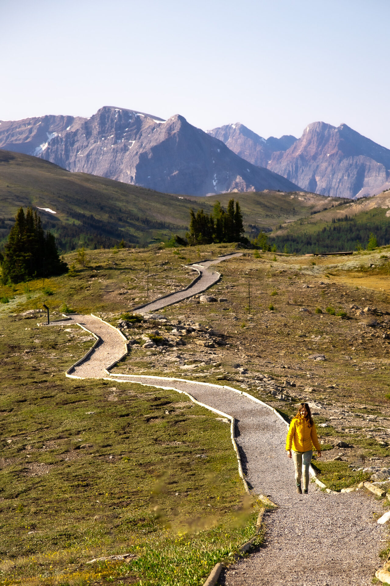
- Sunshine Meadows via their sightseeing gondola is the best place to see wildflowers in Banff from mid July to mid August. The trail around the meadows is suitable for beginners and passes multiple lakes and viewpoints.
- Healy Pass is a long trail, but great for wildflowers and Larch trees in the fall. You can make Healy Pass a loop and hit Simpson Pass on the way back too.
- Eohippus Lake is accessible via both the Sunshine Gondola or the Sunshine parking lot. The trail to Eohippus crosses the border into Assiniboine Provincial Park.
- Assiniboine and Egypt Lake are two epic backpacking trails accessible by bus from Banff. Egypt Lake is just past Healy Pass and works as an excellent basecamp for scrambling the surrounding peaks or exploring the nearby lakes. Assiniboine is a multi-day backpacking trip with the option to be helicoptered in/out. Assiniboine starts at the top of the gondola whereas Egypt Lake is accessible from Sunshine’s parking lot.
More information about the hikes mentioned above can be found in my Banff & Lake Louise map.
Norquay Free Shuttle
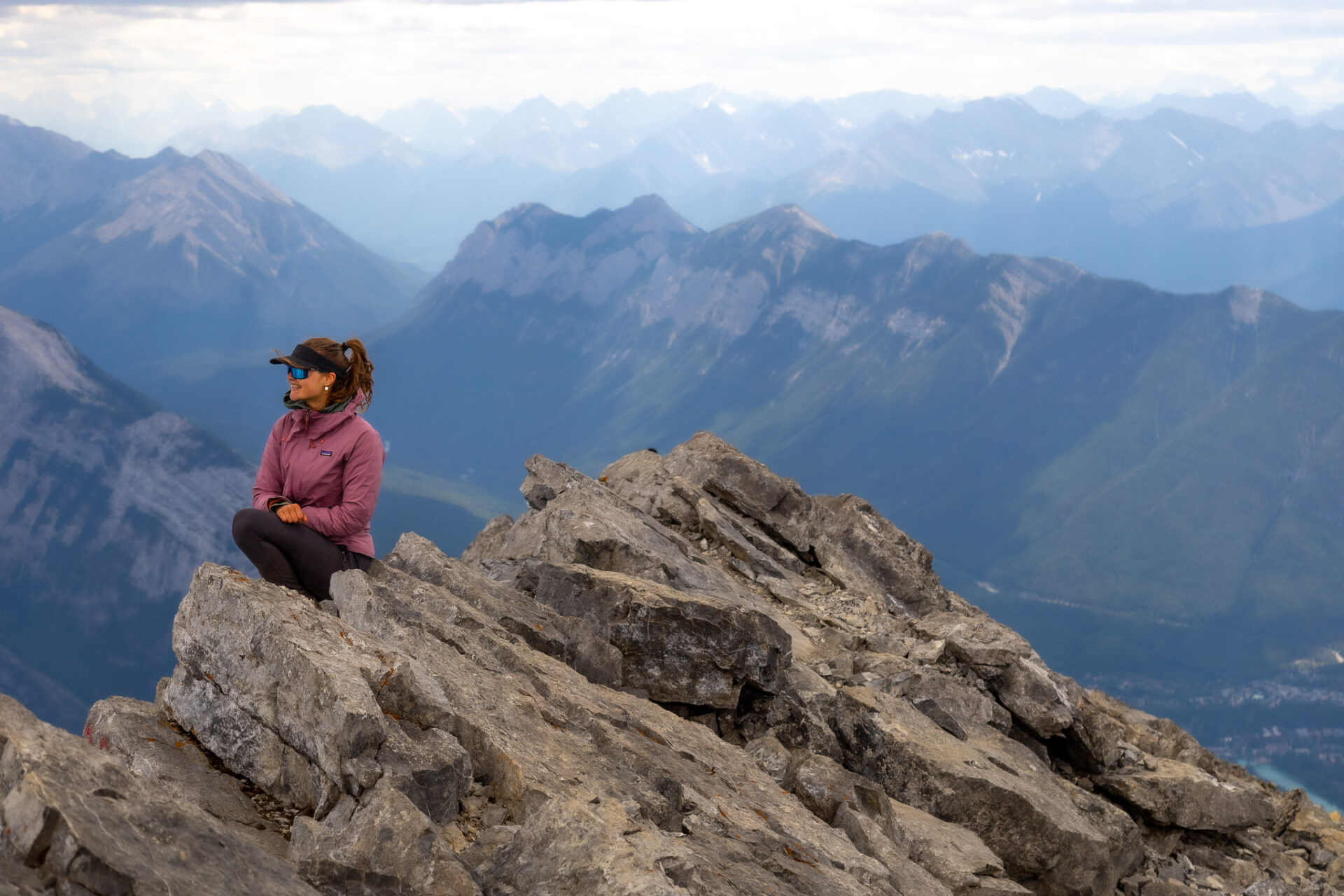
The Norquay shuttle opens up epic hikes you can do in Banff without a car. I like these hikes as there’s minimal transit time between the town of Banff and the trailhead.
- Cascade Summit is the iconic triangular mountain you see in every photo of Banff from Banff Ave. The climb up here is 18kms+ with over 1,600m of elevation gain. Although long and gruelling the hike isn’t overly technical considering it’s an almost 3,000m mountain. Here’s my guide to Cascade Mountain.
- Cascade Amphitheatre is the ‘halfway’ ish point of the Cascade Summit. The amphitheatre is exactly what you’d imagine – a bowl shaped hollow in the mountainside filled with varying sizes of talus and scree. Here’s my guide to Cascade Amphitheatre.
- Stoney Lookout is the easiest hike at Norquay. It’s a quick hike through a spooky, moss-covered forest to a lookout over Banff and Cascade Mountain.
- Sawback Trail is around a 5 day, 100km+ hiking trip connecting Norquay to the Fish Creek Trailhead in Lake Louise via the backcountry. Along the way you’ll pass Elk Lake and Mystic Lake which can also be done as individual 1 night backcountry trips.
More information about the hikes mentioned above can be found in my Banff & Lake Louise map.
Lake Louise Free Shuttle
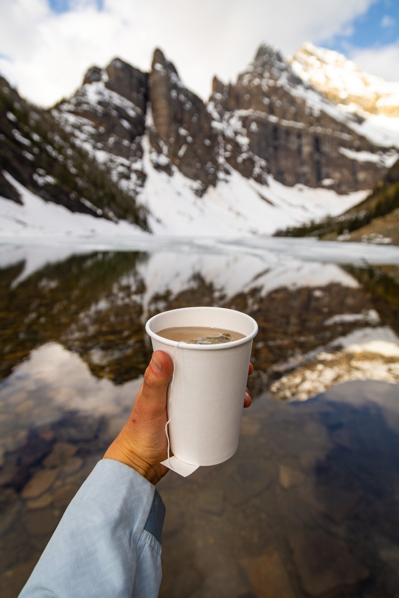
There are TONS of hikes you can do in Lake Louise without a car. I’ll outline more hikes you can do in Lake Louise without a car below via the 8X route, but for now here are some epic hikes you can do via the free shuttle (aka the Parks Canada Park & Ride Connector).
- Skoki Loop is one of my favourite hikes in Banff and one of the best backcountry hikes in Banff you can do without a car. As suggested the route is famously characterized by all kinds of beautiful alpine lakes. There are also beautiful wildflowers here, waterfalls, and lots of wildlife. Along the Skoki Loop you’ll pass Ptarmigan Lake and Boulder Pass which can be done as individual day hikes.
- Hidden Lake is another backcountry hike you can do in Banff without a car. The trail to the lake is moderate, but well rewarding. Once you arrive you can opt to do a double summit scramble up to Mt Richardson and Ptarmigan Peak.
- The Kicking Horse Viewpoint and the Ptarmigan Viewpoint Trail are two hikes in Lake Louise you can do via the ski resort’s sightseeing gondola. Once you’re up the gondola both these trails are easy to access and don’t take too long.
For more detailed information regarding the Skoki Loop trail, check out this post.
For more information regarding the viewpoints, check out this post.
Route 1 (Roam Transit)
Here are all the Banff hikes you can do without a car via Route 1 with Roam Transit. See route 1 details above.
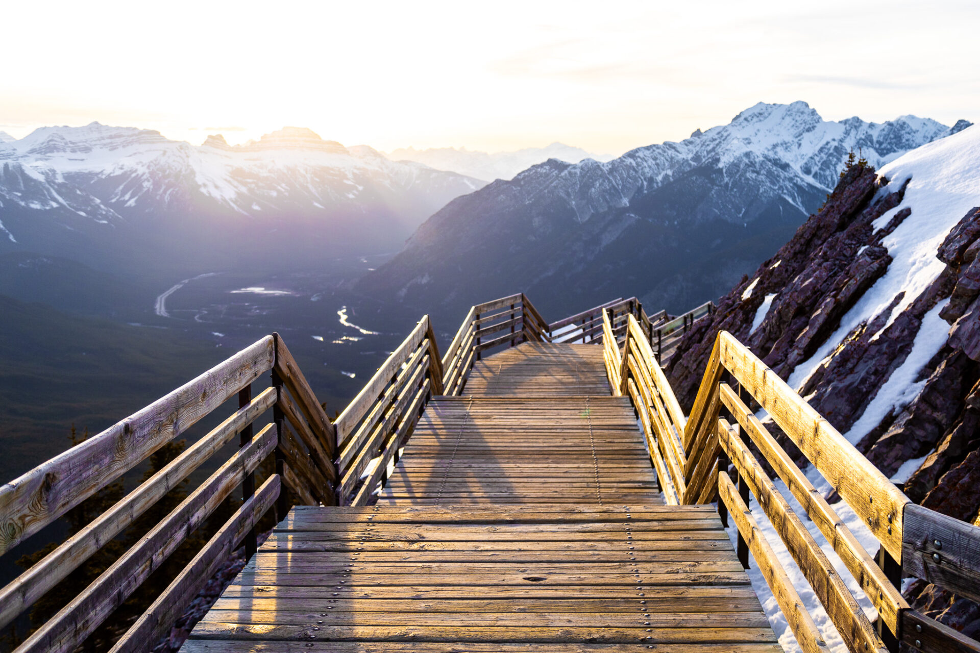
Sulphur Mountain is the summit the Banff Gondola goes to. This mountain is unique as it’s one of the only mountains in Canada that offers mountaintop facilities: washrooms, restaurants, entertainment, etc. The hike up is honestly quite boring as it follows a forested route with 27 switchbacks, minimal views, and the heaviest amount of traffic I’ve ever seen on a hike. But once you’re up the struggle is so worth the reward.
If you’re looking for more of a challenge, the Sulphur Mountain Traverse is a scramble route which starts at the Sulphur Mountain summit. If you can justify the price I recommend taking the gondola up and down to reduce some kilometres spent on the trail. Otherwise the day would be quite lengthy. This trail is not recommended for those new to hiking due to the route finding required and the scrambling component.
Route 2 (Roam Transit)
Route 2 gives you access to only 1 hike you can do in Banff without a car – the Hoodoos Trail. This one is an easy hike that starts at Surprise Corner and ends at the Hoodoos Lookout, or vice versa. This is one of my favourite local trails as it’s underrated and as a result, quiet. The views are spectacular the whole way and the Hoodoos Lookout is one of the best places to watch sunset in Banff.
More information about this hike can be found here.
Route 4 (Roam Transit)
Here are all the Banff hikes you can do without a car via Route 4 with Roam Transit. See route 4 details above.
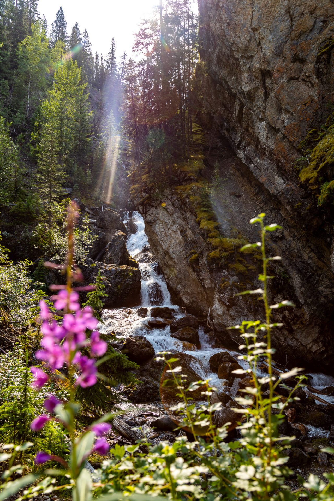
The Marsh Loop is a quiet, easy trail behind Cave and Basin that follows the Bow River. It doesn’t take long to complete and has a large local bird population that lives in the marshlands. You’ll frequently see horseback riding tours come through here too.
Sundance Canyon is an easy hike in Banff you can do without a car. It’s recommended you take a bike to smash out the first paved section of the trail. Once the paved section is over the trail enters the woods where you’ll see flowing water through a canyon. This trail can be hiked or xc skied in winter.
Remember Sulphur Mountain? There’s a hike up the Westside that gets you to the same summit. The trail is slightly longer trail with more elevation gain, however I prefer the Westside of sulphur Mountain as it’s quieter than the main trail and has better views. It’s best if you can take a bike with you to cycle the road past Cave and Basin as it can be long and boring.
Route 6
Here are all the Banff hikes you can do without a car via Route 6 with Roam Transit. See route 6 details above.
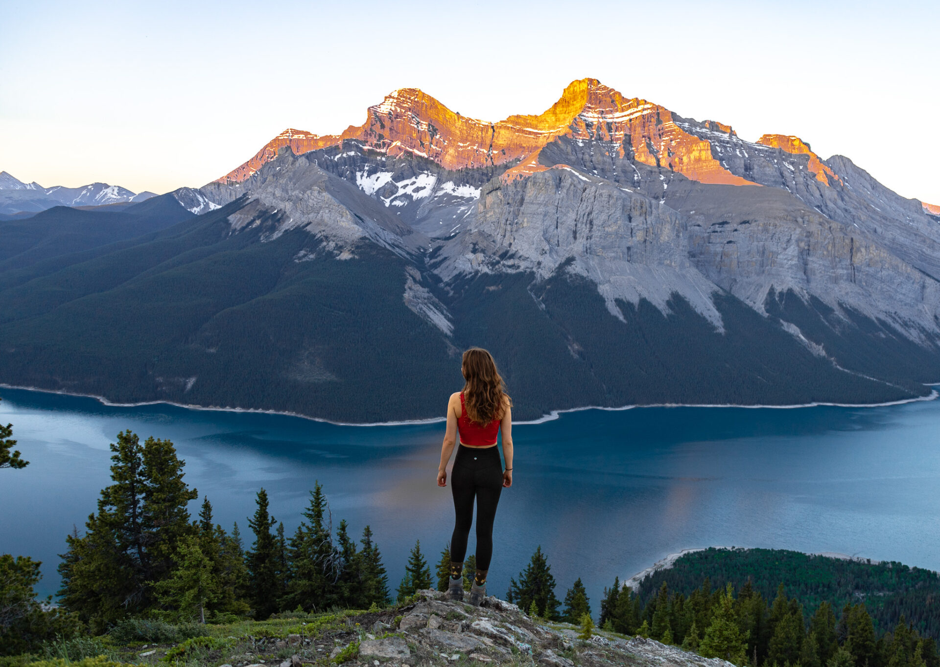
Cascade Falls is a short and sweet hike that brings you up to a waterfall on a rocky ledge which overlooks Mount Rundle and the Bow Valley. Exit route 6 at Cascade Ponds if you’re accessing this hike without a car.
The Johnson Lake Loop is a short and easy, mostly flat trail that loops the lake. I actually like this hike best during winter when it’s quieter, but summer is equally as nice. Keep your eyes peeled for the Hermit of Inglismaldie – an old, historic cabin located off the main trail. It’s hidden so you’re going to have to look for it!
C Level Cirque is one of the easier ‘moderate’ hikes in the area. The first part of the trail is forested, then follows the bottom of a rocky cirque before reentering the trees and emerging at a viewpoint overlooking Lake Minnewanka and the Bow Valley. More information about the hike can be found in this C Level Cirque Guide. To get to this hike without a car, exit the bus at Lake Minnewanka, then walk/bike down the westside of the road to the Upper Bankhead Parking lot for 2.4kms (approx. 30mins walking).
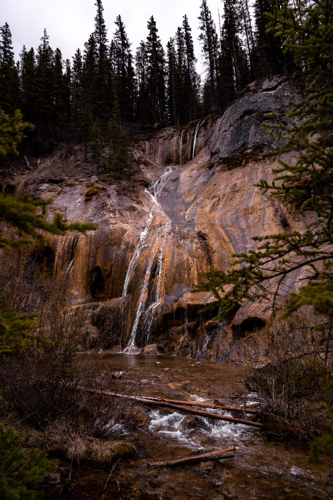
Tessa Falls is essentially an unknown, easy hiking trail in the Banff which leads to a unique waterfall that emerges through orange-y rock. To get here without a car, follow the same directions as C Level Cirque, however only walk/bike for 1km (12mins). There’ll be an unmarked pull off on hiker’s left where the trail starts.
Stewart Canyon is an easy hike that’s good for the whole family. The trail is quick and the blue water at the end of the canyon is stunning. To get here, exit route 6 at Lake Minnewanka and follow the trail that loops the lake.
Click here for more information regarding Tessa Falls, Cascade Falls, Johnson Lake Loop, and Stewart Canyon.
Aylmer Lookout is, in my opinion, one of the best hikes in Banff. The hike there/back is long unless you basecamp at LM8 or LM9, however once you see Lake Minnewanka above from this angle it’ll all be worth it. Sunrise and sunset are both optimal times to complete this hike, especially if the weather is good and wind is minimal. Here’s my Aylmer Lookout guide.
Aylmer Pass is the same situation as the lookout – long unless you camp. Aylmer Pass is absolutely stunning and offers a wicked view of wildflowers toward the end of July/early August. Following the Aylmer Pass route, there’s also a scramble up to Aylmer Peak that’s considered mountaineering. Don’t attempt this one unless you have the gear and experience. Here’s my Aylmer Pass guide.
The Lake Minnewanka Lakeshore Trail is a route that follows the entire North edge of the lake. There are campsites every few kilometres (ie. LM8 = 8 kms from the trailhead / LM22 = 22kms from the trailhead) which make hiking the lengthy distance to Aylmer Pass and Lookout easier. Past LM8/LM9, the campsites all basically lead to the Ghost Lakes which are at the east end of Lake Minnewanka. You can also opt to canoe to these sites, however waves and wind can be pretty volatile on Lake Minnewanka for paddlers. Here’s my Lake Minnewanka backpacking guide.
Banff Google Map: 600+ Pins

Get my 600+ Banff recommendations saved to your Google Maps app
Outdoors: 100+ hiking trails, backcountry campgrounds, ski resorts, waterfalls & lakes
Planning: lodging, restaurants, public washrooms & transit hubs
Things to do: tours, viewpoints & unique activities
I lived in Banff for years and know all the best spots!
Route 8X (Roam Transit)
Here are all the Banff hikes you can do without a car via Route 8X with Roam Transit. See route 8X details above.
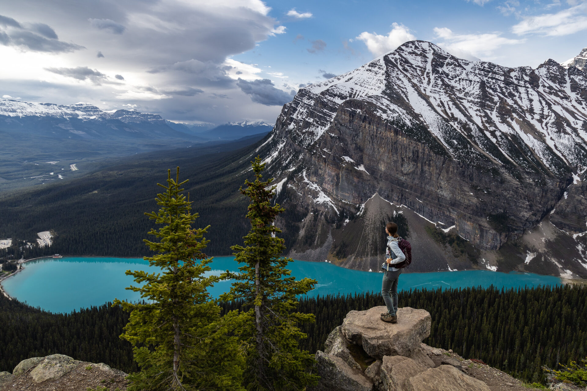
Lake Louise is a mecca for hiking in Banff. This is one of the easiest places to access trails if you’re travelling Banff without a car as the 8X takes you directly to the lake where all the hikes start. For hikes accessible in Lake Louise without a car beginning at the ski resort, you can reference this.
The Lake Louise Circuit Hike is the best hiking trail in Lake Louise if you’re short for time. Following this route allows you to hit all the popular trails in one day rather than spreading them out over multiple days. It’s a long trek, clocking in around 26kms, however following this route allows you to hit Mirror Lake, Lake Agnes, the Little and Big Beehives, Devil’s Thumb, and Plain of Six Glaciers (optional add on to St. Piran). Here’s my detailed post for hiking the Lake Louise Circuit.
Both the Fairview Lookout trail and the Lake Louise Lakeshore Trail are easy hikes in Lake Louise you can do without a car. They’re suitable for everyone and they’re great for families with kids.
For moderate hikes at Lake Louise you can do without a car, check out the Lake Agnes Teahouse, Little Beehive and/or Big Beehive, Plain of Six Glaciers Teahouse, Saddleback Pass (excellent during larch season), or Mount St. Piran. Again, following the Lake Louise Circuit is how I recommend completing these hikes
If you’re looking for more challenging hikes in Lake Louise you can do without a car, I recommend the following trails and scrambles: Devil’s Thumb, Saddle Peak (from Saddleback Pass), Fairview Mountain, Mount Niblock & Mount Whyte, and Ross Lake (better accessed via the Lake O’Hara parking lot).
Route 9 (Roam Transit)
Here are all the Banff hikes you can do without a car via Route 9 with Roam Transit. See route 9 details above.
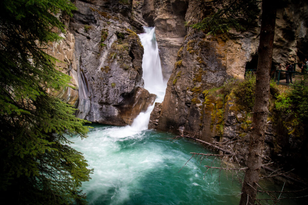
Johnston Canyon & the Ink Pots is a beautiful, but busy trail – a “Banff classic,” if you will. It’s hike-able year round and puts on a show of impressive waterfalls, huge canyon walls, and unique blue/green pools of bubbling water. In winter the waterfalls freeze over making this spot an absolute winter wonderland. More information about this hike can be found in this post.
The Sawback Trail is a 100km+ hiking route connecting Banff and Lake Louise.
If you’re looking for a shorter backpacking trail than the entire Sawback, you can venture over to Luellen Lake for a 1 night trip instead.
More information about Luellen Lake and the Sawback Trail can be found in my Banff & Lake Louise map.
Route 10 (Roam Transit)
Here are all the Banff hikes you can do without a car via Route 10 with Roam Transit. See route 10 details above.
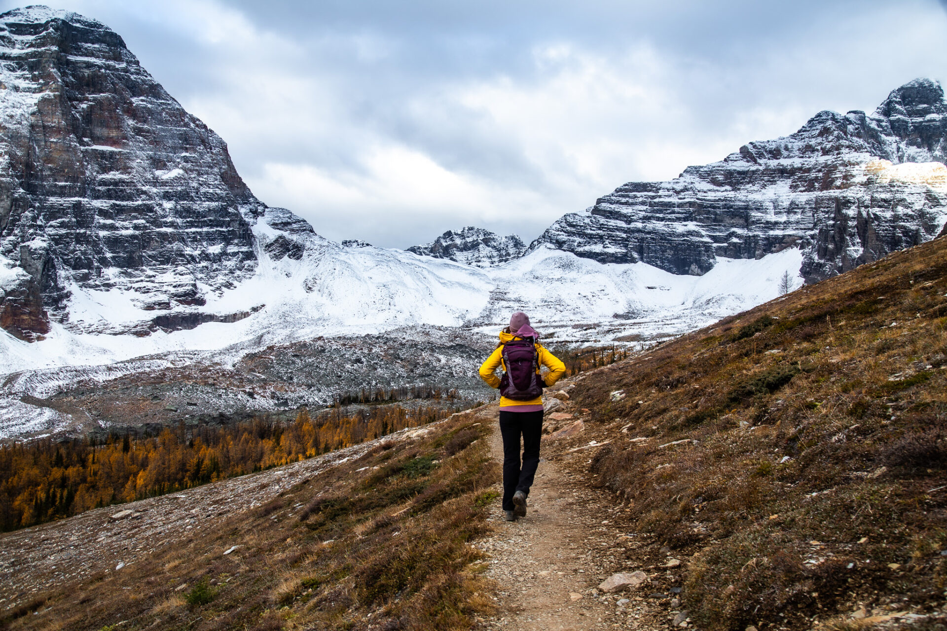
In addition to Route 10, these Moraine Lake hikes can be accessed via the Parks Canada connector shuttle outside larch season. More information about the routes above. Better yet, see this post for a detailed recount of all the ways you can get to Lake Louise and Moraine Lake without a car.
Easy hikes at Moraine Lake you can access without a car are Consolation Lakes and the Moraine Lake Rock Pile which is where you take the famous Moraine Lake picture.
If you’re after a bit more of a challenge, you can also venture over to Larch Valley which is Banff’s famous Larch hike or Sentinel Pass which is just above Larch Valley and shows off impressive views of Paradise Valley.
Most of the hikes at Moraine Lake are long and strenuous or technical. If you’re an advanced hiker you can check out Eiffel Lake and Wenkchemna Pass (done together), Eiffel Peak, Tower of Babel, or the infamous Mount Temple which is the tallest mountain in the Lake Louise area (3,544m). None of these routes require climbing gear, only route finding skills and previous scrambling experience.
For a backcountry trail at Moraine Lake, you can venture over to the Giant Steps via the Paradise Valley trail. This route can be completed in 1 day, but it is over 20kms. Along the way you can see Lake Annette, Little Temple, or route find through scrambles to a few other peaks or alpine tarn (very advanced so I won’t mention these spots here).
More details regarding the hikes above can be found in this post
Banff Backcountry Hikes Accessible without a Car
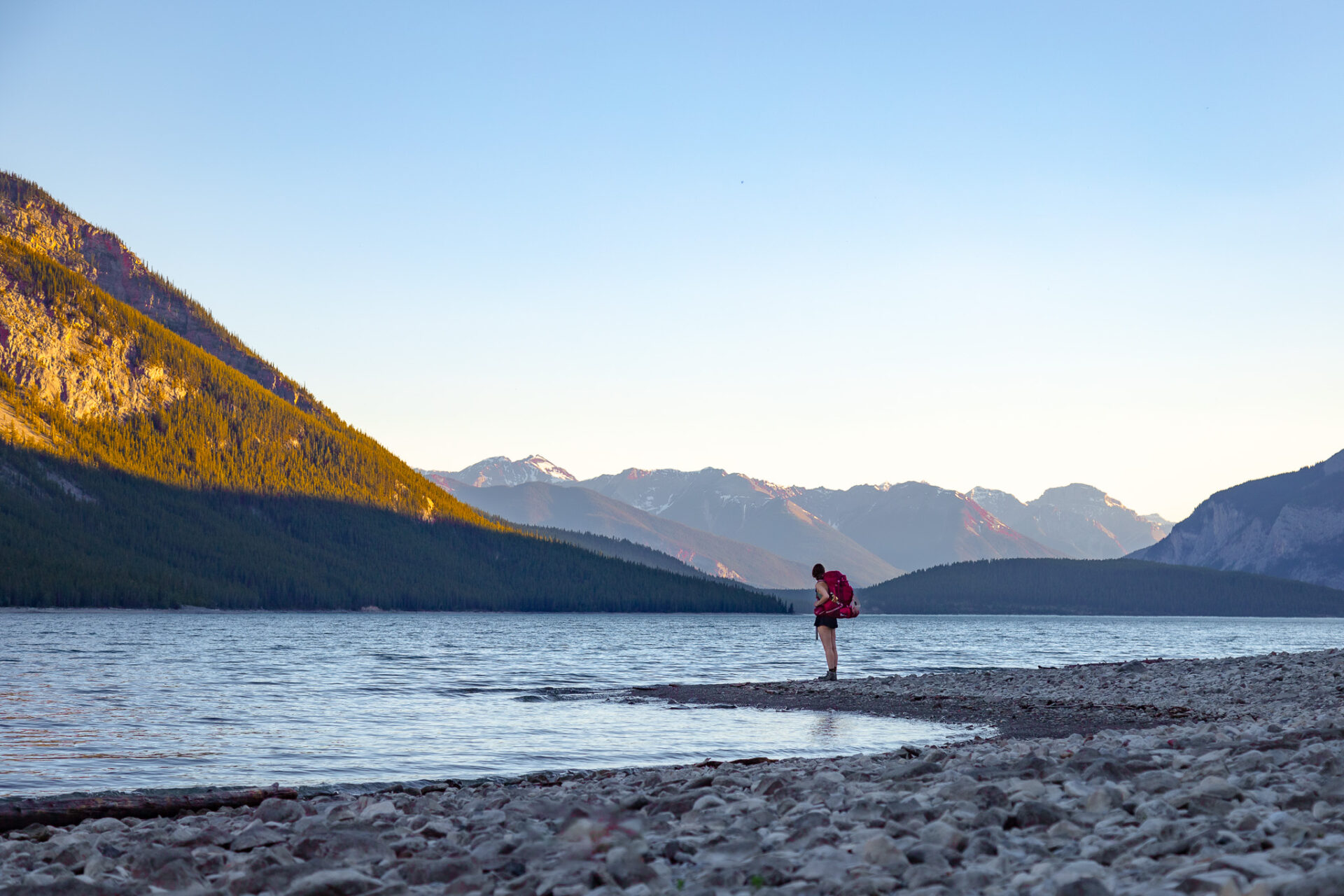
I’ve already mentioned these trails above, however for a recap, these are all the backcountry hikes you can do in Banff without a car.
Assiniboine and Egypt Lake via the free Sunshine Village shuttle.
The Sawback Trail from Norquay to Lake Louise (Fish Creek Trailhead). This encompasses 1 night trips to Elk Lake and/or Mystic Lake via the Norquay free shuttle. You can also hit Luellen Lake for a 1 night trip via Route 9.
The Banff Skoki Loop and Hidden Lake are backcountry hikes in Banff you can do without a car too. Take route 8X from Banff, then catch the Parks Canada connector shuttle (included with a Roam SUPERPASS) from Lake Louise Lakeshore or from the Lake Louise Village South bus stop.
The 30kms+ backcountry trail along Lake Minnewanka and the corresponding backcountry sites can be accessed via Route 6 with Roam Transit. This opens up the opportunity to venture over to the Ghost Lakes or hit Aylmer Lookout and Aylmer Pass along the way.
Paradise Valley and the Giant Steps can be accessed via the Parks Canada connector shuttle. A few spots on the shuttle are always reserved for hiker’s with Giant Steps reservations.
Hikes Accessible in Canmore Without a Car
Here are all the Banff hikes you can do without a car via Route 3, 5C, 5C, and 12 with Roam Transit. See route 1 details above.
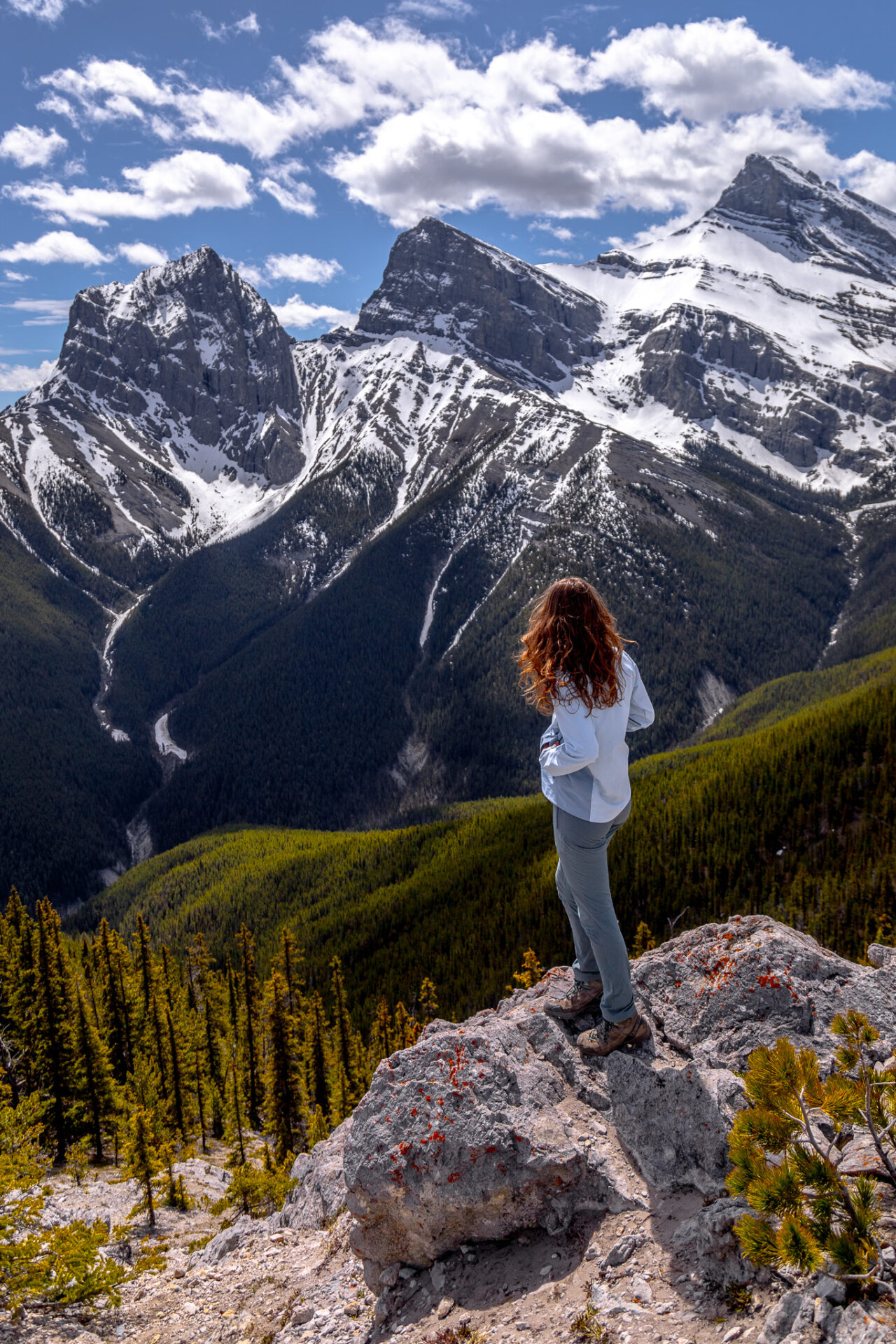
For hikes in Canmore without a car, check out the following. To connect with Canmore’s local routes, the best bus stop is at 9th st. There’s a lengthier stop here and a public washroom.
With route 3 from Banff you can walk the Policeman’s Creek Boardwalk. It’s a short, easy trail in downtown Canmore suitable for everyone. Get off at 9th street and walk 20 minutes to the trailhead.
After catching route 3 from Banff, connect with the free 5C route to the Cougar Creek area. From the Benchlands Trail at Elk Run stop you can summit Lady MacDonald, Grotto Mountain, or Cougar Peak. These hikes follow more technical scrambling routes and/or long routes through loose, rocky terrain.
Alternatively you can also connect with the 5T route to the Three Sister’s Area. From this route you can bike the Highline Trail and/or Powerline Trail, hike Grassi Knob (walk 4 mins from Walker West stop), or scramble up Middle Sister (walk 15 minutes from the Stewart Creek Stop).
A newly established bus route also connects downtown Canmore with the Canmore Nordic Centre and Grassi Lakes which is an easy trail featuring a vibrant emerald green lake.
And now you officially know how to explore Banff without a car!
Canadian Rockies Hiking Tips
Guides for hikes in: Banff | Jasper | Kananaskis | Kootenay | Waterton | Yoho
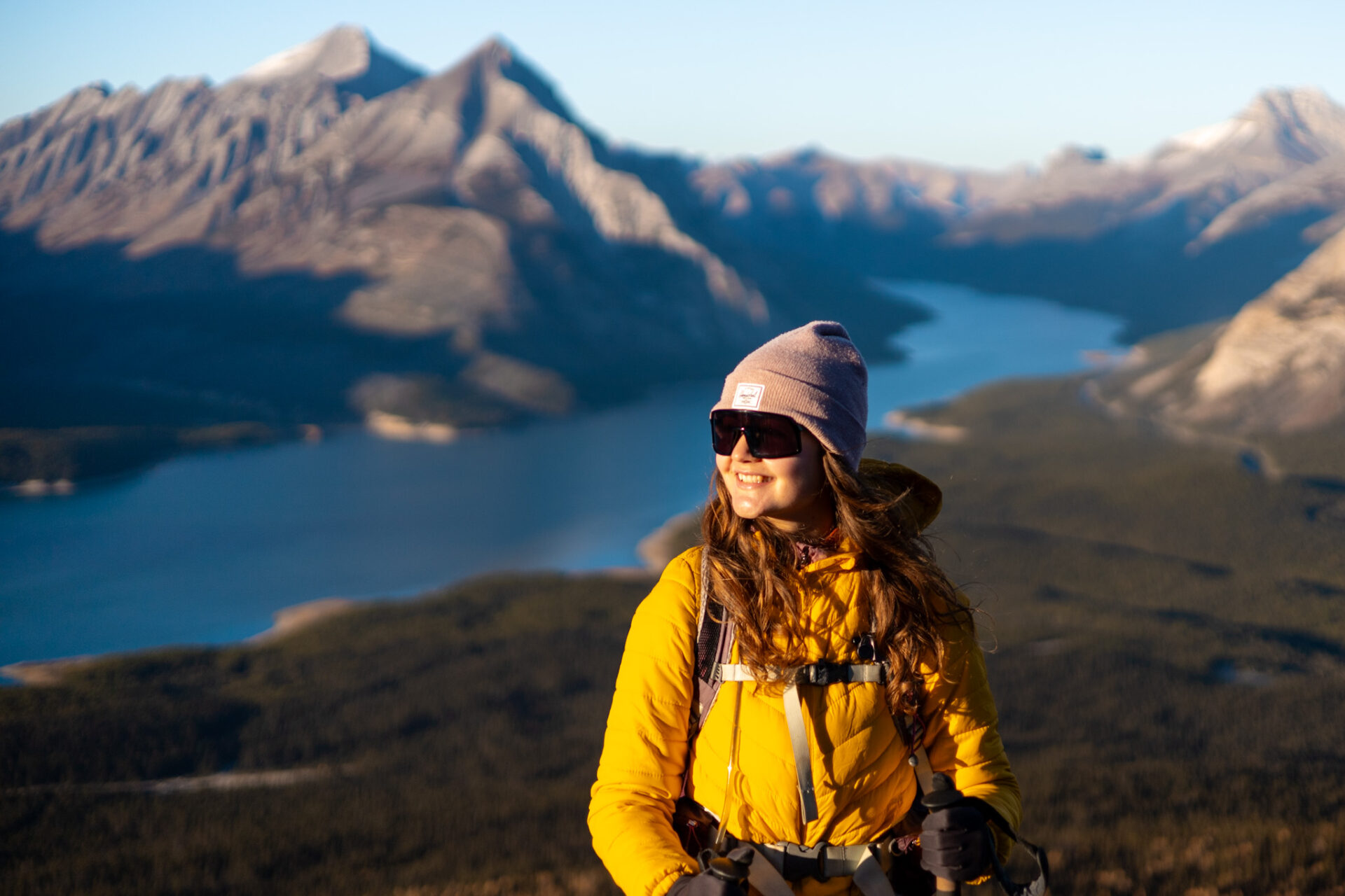
Approach: take a conservative approach if you’re new to hiking and ensure you have lots of daylight. Trails here are steep, long, and can have challenging terrain.
Best Time of Year: July to early September is the most reliable for weather and minimal snow. This post outlines each month in Banff.
- Hiking in winter? Stick to easy, well-trafficked trails unless you’re knowledgeable about avalanche terrain. I always check the avalanche bulletin and use both Caltopo and Google Maps satellite view to survey terrain before hiking.
Pets: leashed dogs are allowed on all trails in the Rockies unless otherwise stated.
Safety: tell someone where you’re going and when you plan to return. I always carry the Garmin InReach Mini for additional safety as there’s minimal cell service in the Rockies.
Wildlife: carry bear spray and know how to use it. Here are bear safety tips from Parks Canada.
Maps: I purchase the Alltrails+ membership and download my maps before hiking so I always know where I am.
Helpful Canadian Rockies Hiking Posts:
More of my detailed hiking tips can be found here
Canadian Rockies Camping Tips
Plan to go camping in Banff and the Canadian Rockies? Here are some useful things to know.
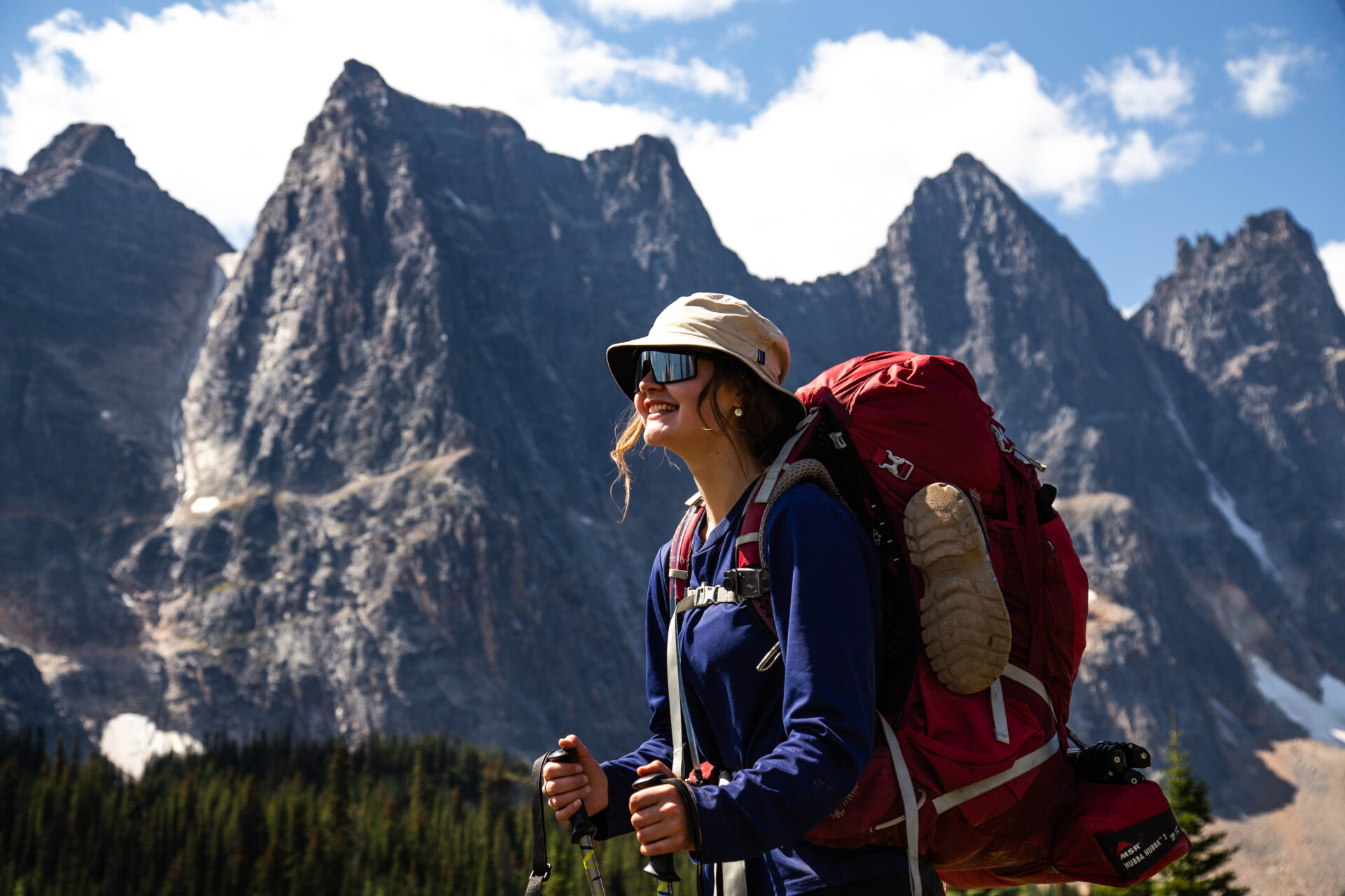
Unless you’re on some form of public land – random camping and free car camping is not permitted in the Canadian Rockies. If you do plan to “free” camp in the designated areas, you must purchase the Public Lands Camping Pass.
Camping Reservations: reservation day (when bookings go live) usually occurs in January. Most summer camping reservations must be made then as sites fill up instantly.
- National park camping reservations can be made here and Kananaskis reservations can be made here: backcountry | front country.
- Can’t get a reservation? Sign up for cancellation notifications via Schnerp. I use this resource frequently and have found cancellations at the most popular spots in the Rockies like Lake O’Hara.
When to Camp: most campgrounds close for the winter, however a few remain open year round. July-August is best for backcountry camping. Keep in mind, temperatures are typically very cold at night even during peak summer.
Hut Camping: the Alpine Club of Canada has established alpine huts scattered around the Rockies and beyond. These huts must be booked in advance and cater to backcountry skiers, hikers, and climbers.
Packing advice and my personal gear recommendations can be found in my Backcountry Gear Guide.
How to travel Banff without a car and hikes you can do in Banff without a car
Recommended Hiking Gear for the Rockies
Below are my personal recommendations and favourite products for Canadian Rockies specific hiking gear.
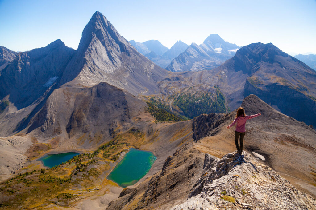
Backpack: I use the Osprey Sirrus 24L (men’s edition) for quick day hikes and the Osprey Sirrus 36L (men’s edition) for longer hikes requiring more gear.
Hydration: I use the 3L Hydrapak to carry water and always have aquatabs on-hand if I need to filter water.
Footwear: I currently use the Scarpa Kailesh (men’s version) and full cushion crew Smartwool socks.
Safety: I always carry the Garmin Inreach Mini 2 as my satellite device.
Here are my detailed posts for Canadian Rockies hiking gear
Rockies Hiking Gear: Winter
If you’re planning to hike the Rockies in winter, you’ll need to add a few more items to your gear arsenal.
The items below are what I use.

Spikes: I love Hillsound’s trail crampon which provides killer traction and long-lasting durability.
Snowshoes: I use TSL’s sustainable Symbioz Hyperflex snowshoe, however any snowshoe from TSL is top of the line. This one is their midrange model which offers similar features at a light weight and better price point.
Gaiters: this is my top pick for gaiters which are great for keeping water and snow out of your boots. If you’re on a budget, these ones are a little more cost effective and have plenty of great reviews.
Warmth: I use Aurora Heat’s reusable hand + ultra foot warmers for both hiking and skiing. They’re made of beaver pelt by Indigenous women in Canada’s Yukon.
Softshell Pants: these are my favourite pants (men’s sizing) for cold weather hiking. They’re water resistant, wind resistant, and warm. If you’re reading from the USA, these REI pants are equivalent: women’s sizing | men’s sizing.
How to travel Banff without a car
Banff Google Map: 600+ Pins

Get my 600+ Banff recommendations saved to your Google Maps app
Outdoors: 100+ hiking trails, backcountry campgrounds, ski resorts, waterfalls & lakes
Planning: lodging, restaurants, public washrooms & transit hubs
Things to do: tours, viewpoints & unique activities
I lived in Banff for years and know all the best spots!
How to travel Banff without a car
Happy adventuring!
Taylor ♡
Like This Post?
Share with friends or save it for later!
About the Author
HI, I’m Taylor – the voice behind The Holistic Backpacker.
After moving to Banff National Park in 2020 I became an outdoor adventure enthusiast and vowed to never stop exploring.
I now spend my days travelling the world, climbing mountains, and spending nights under the stars in the Canadian Rockies backcountry.
I created The Holistic Backpacker so I could share my adventures and help connect people like you with the same amazing experiences.


